76 Free Aerial View Photos Midjourney AI images
Welcome to our Aerial View Photos collection, featuring 76 free AI-generated images. Discover a wide variety of stock photos, 3D objects, vectors, and illustrations. Enjoy high-resolution downloads and use our 'open in editor' feature to customize prompts and regenerate images to fit your exact needs.


Related Tags
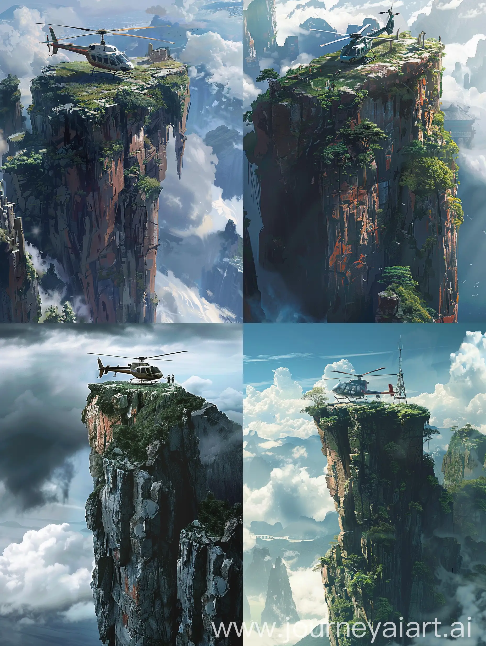
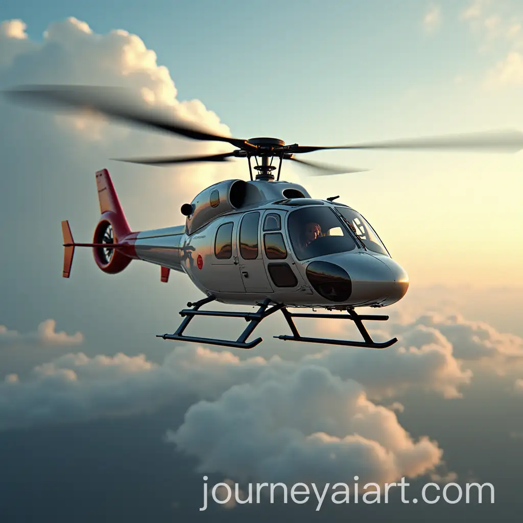
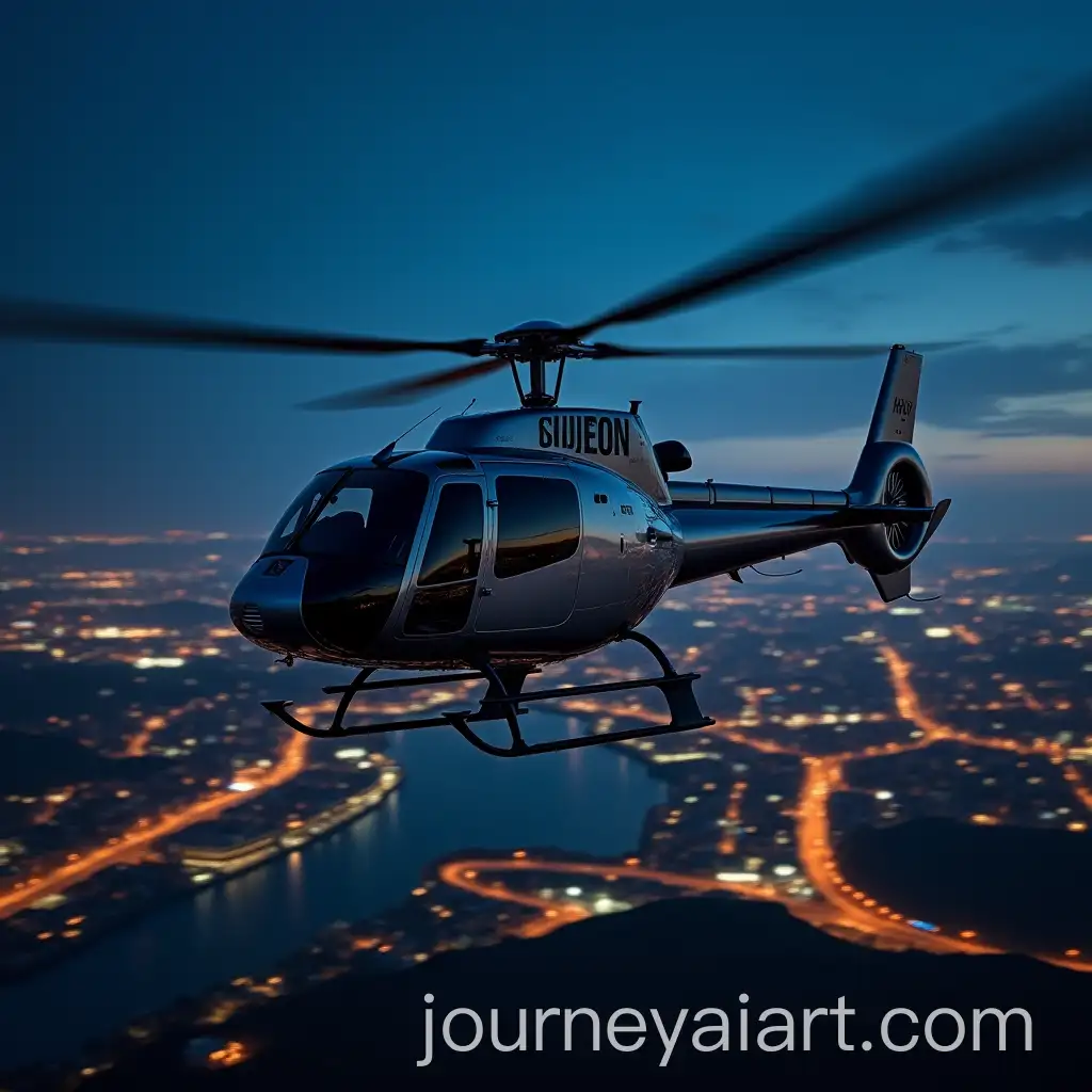
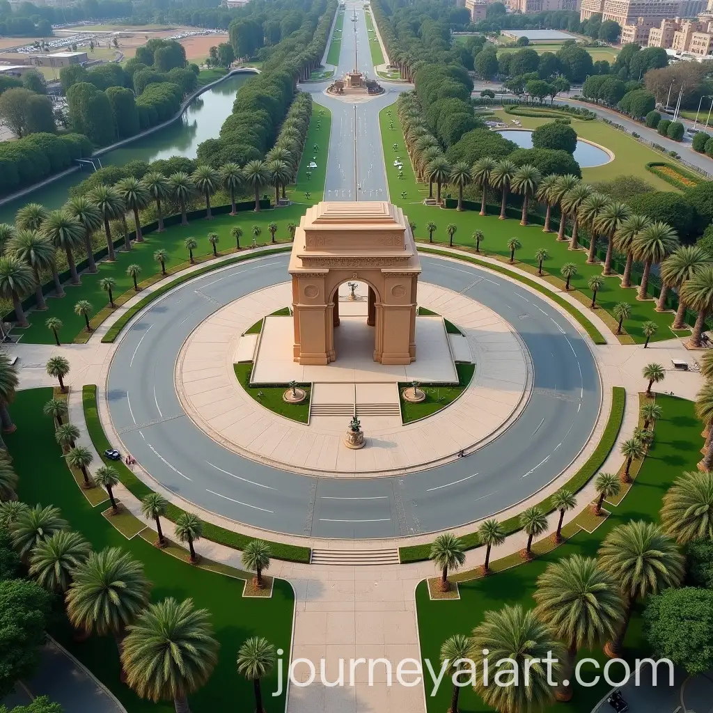
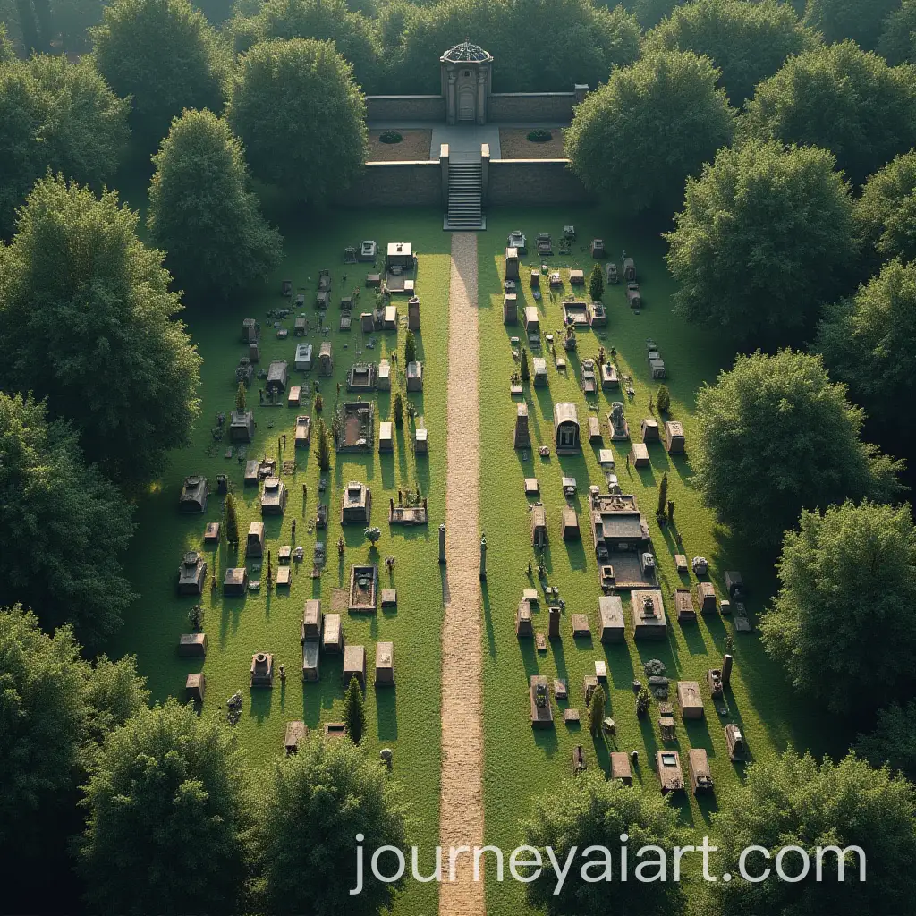
Aerial view photography involves capturing images from an elevated position, often using drones, helicopters, or planes. This technique provides a bird's-eye perspective, revealing patterns, structures, and landscapes that are not visible from the ground. Historically, aerial photography began in the mid-19th century with balloons and kites, and it has evolved significantly with the advent of modern technology, especially drones, making it more accessible and versatile.
Definition and Background of Aerial View Photography
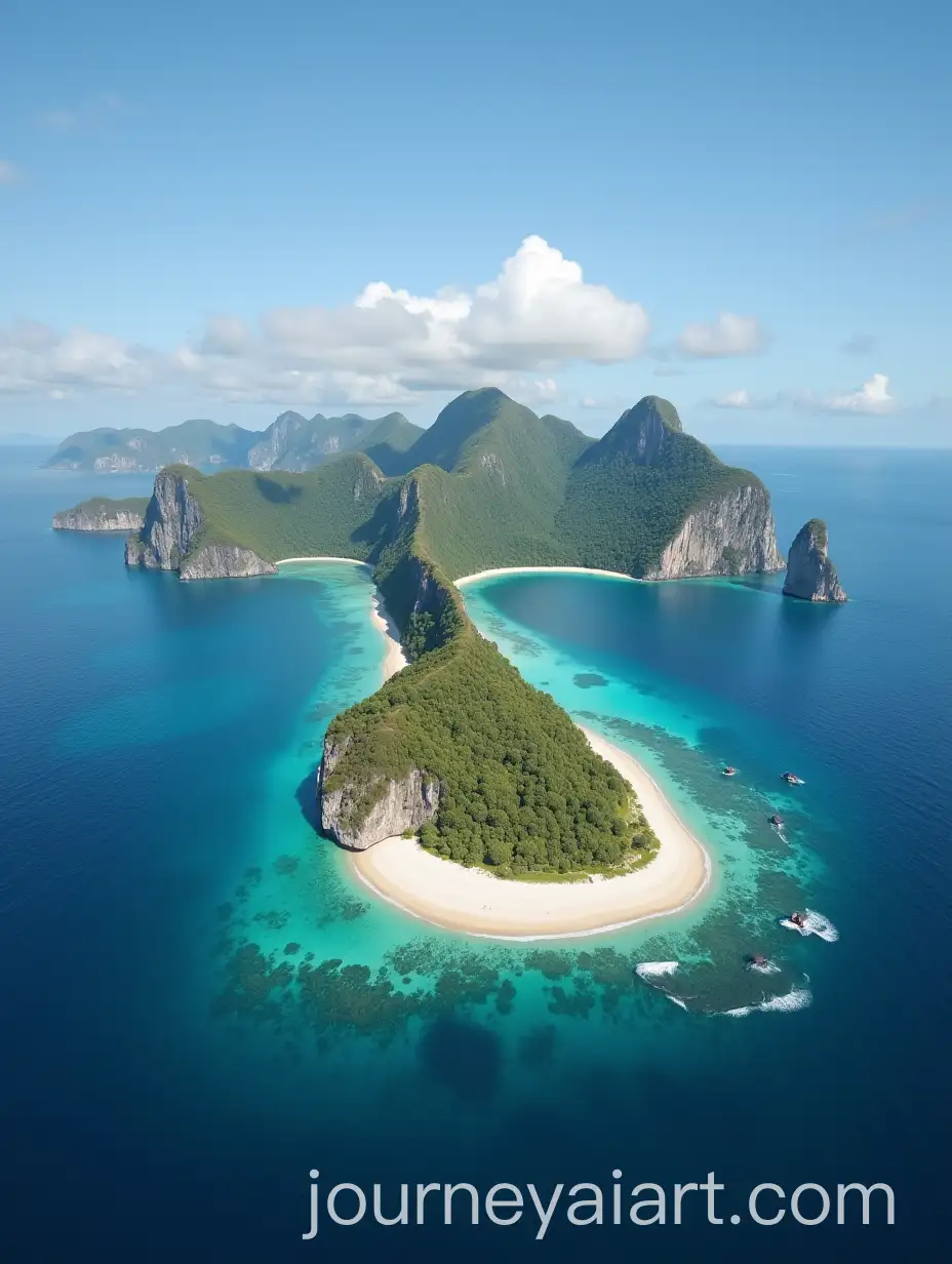
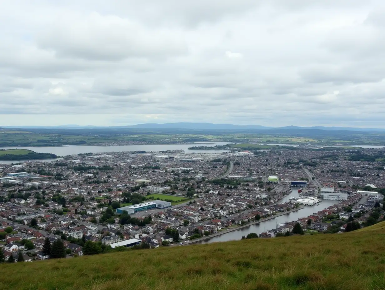
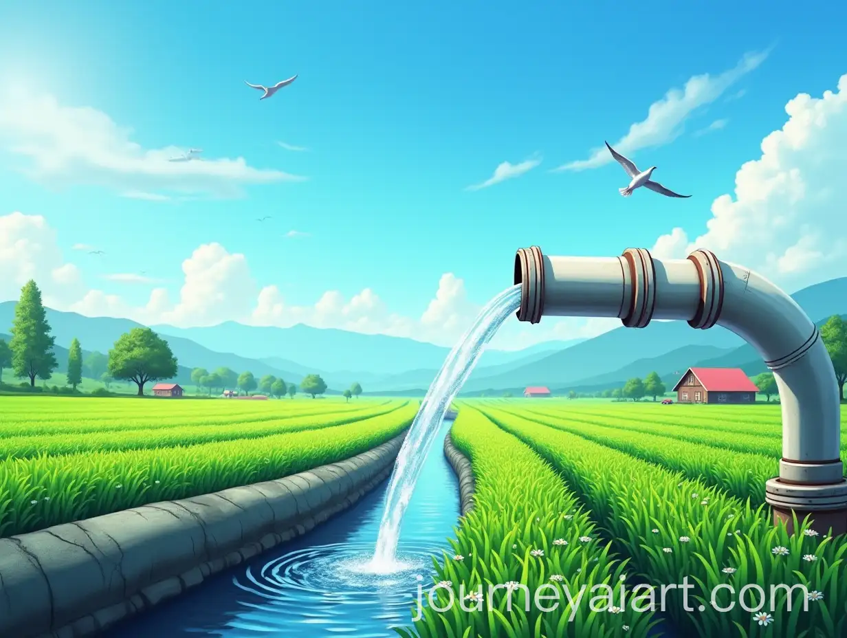
Aerial view photos are characterized by their unique vantage point, offering comprehensive views of landscapes, cityscapes, and natural formations. These images are widely used in various fields, including urban planning, environmental studies, real estate, and tourism. In urban planning, they help in visualizing the layout and infrastructure of cities. Environmentalists use them to monitor ecological changes, while real estate developers employ aerial views to showcase properties. Additionally, they are popular in marketing campaigns and travel blogs for their stunning, expansive visuals.
Characteristics and Applications of Aerial View Photos
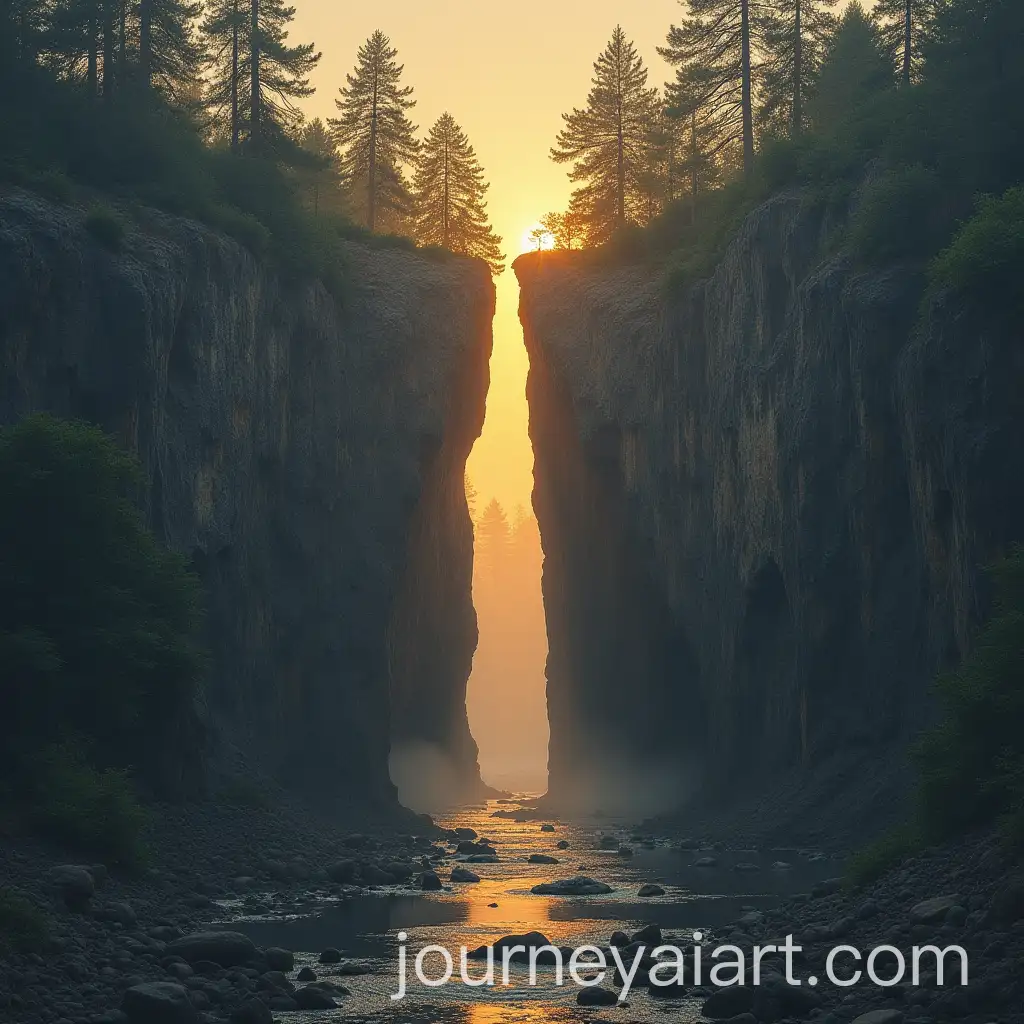
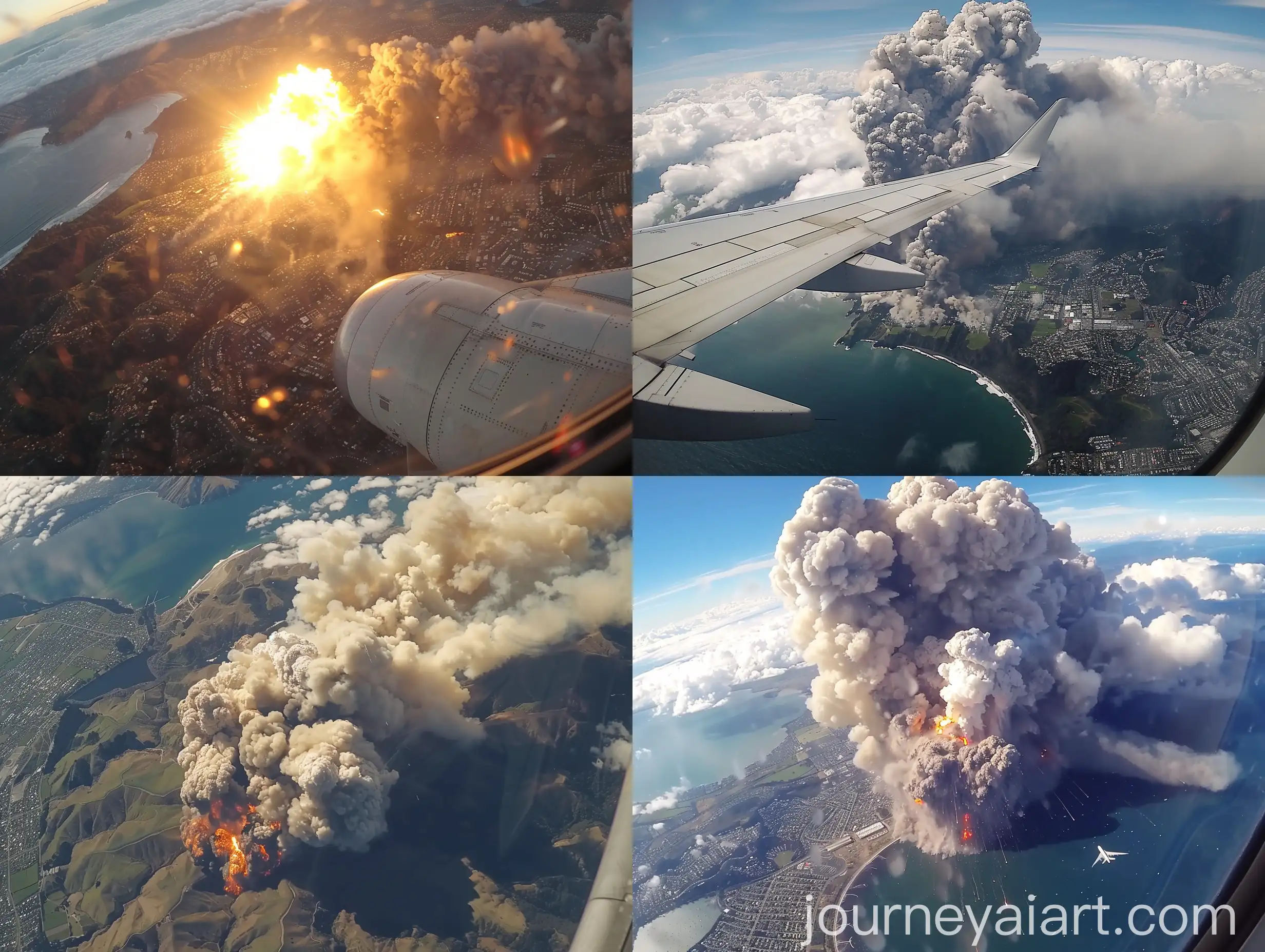
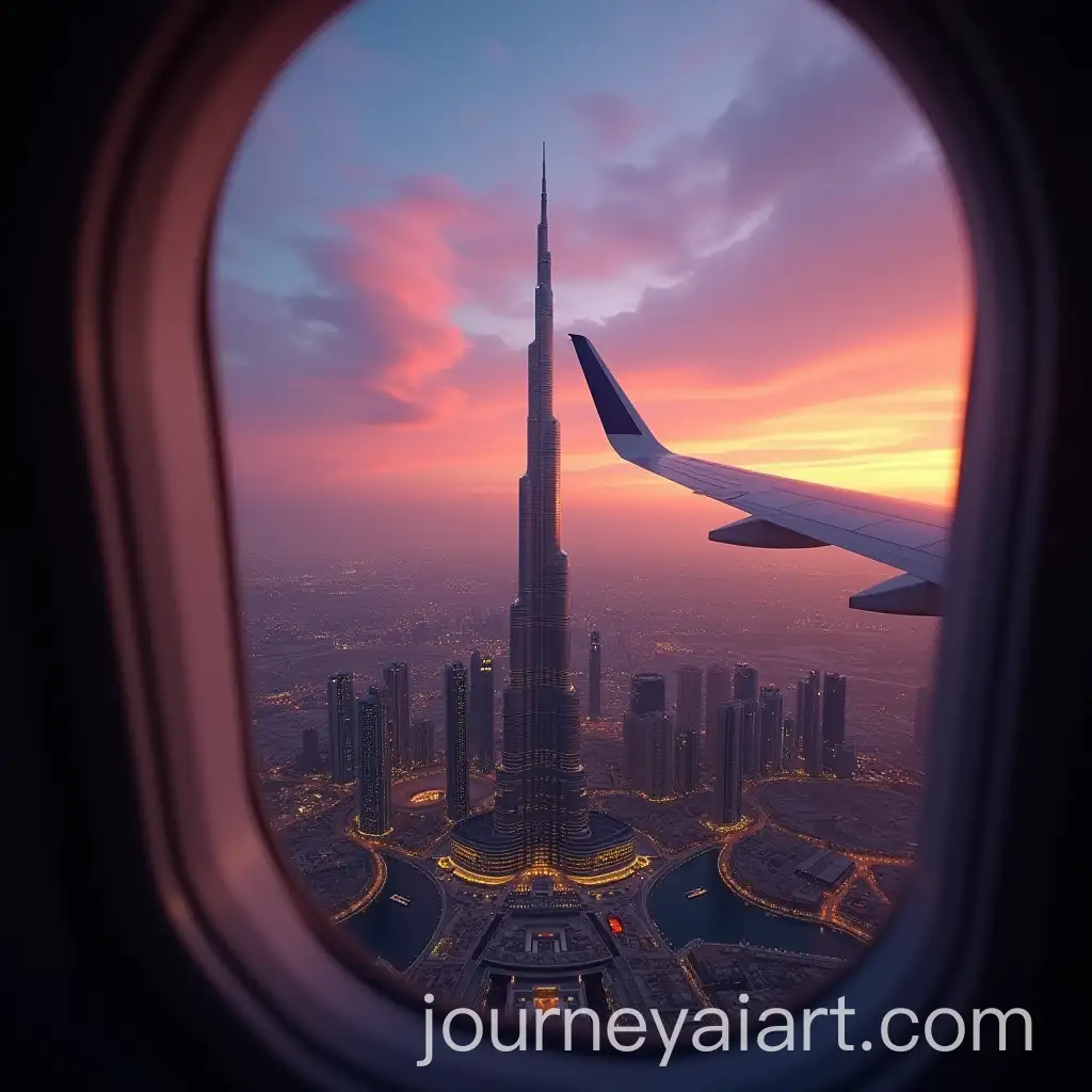
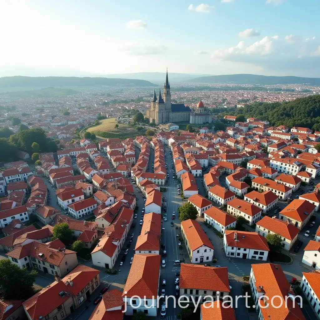
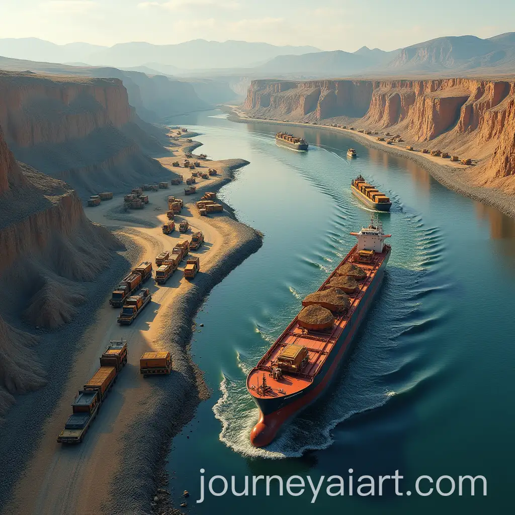
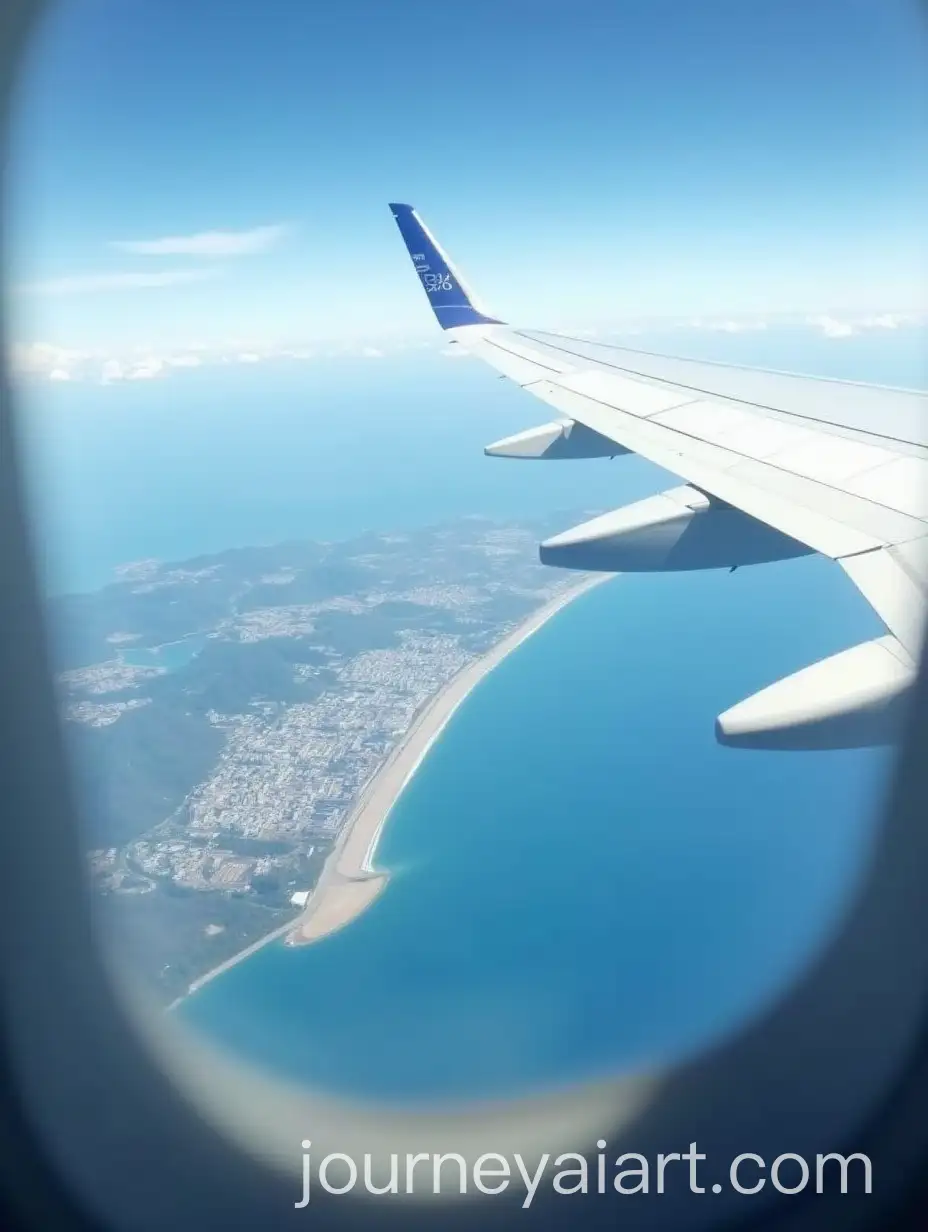
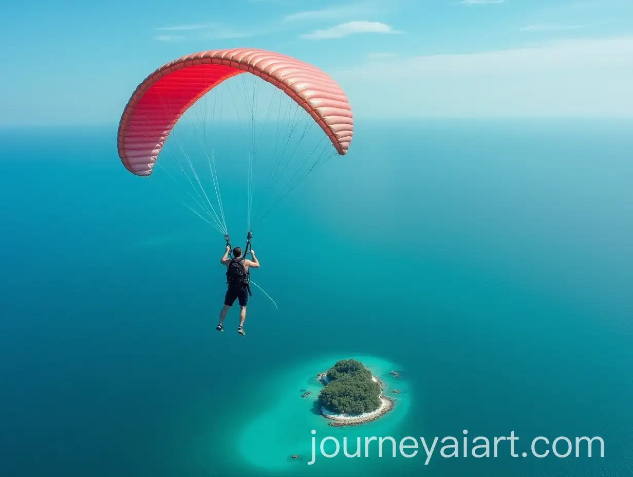
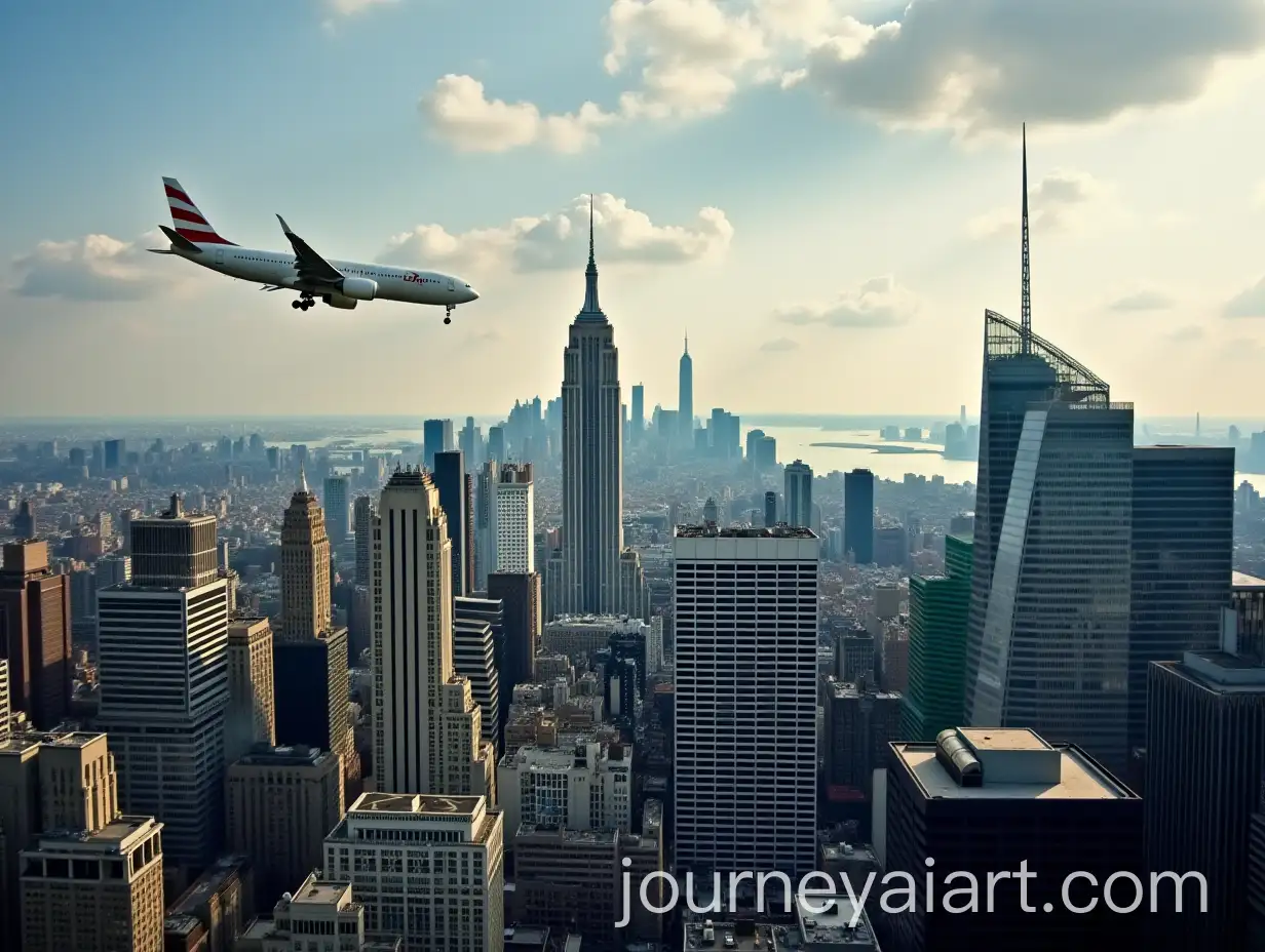
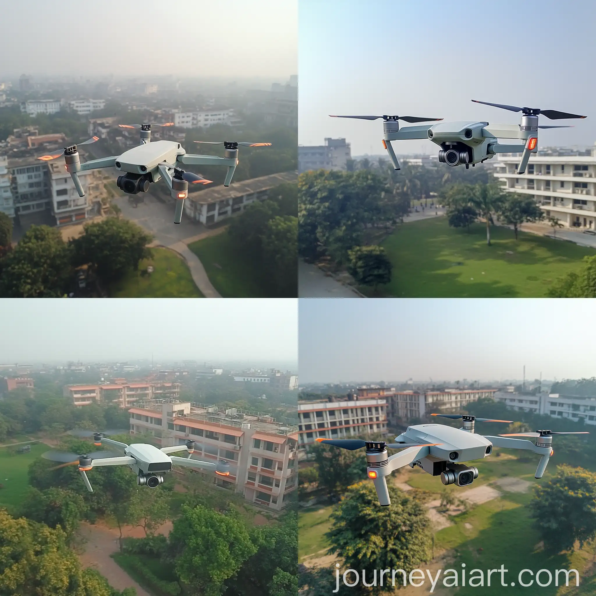
Aerial view photography encompasses several styles, each serving different purposes. Vertical aerial photography, taken directly overhead, is often used for mapping and surveying. Oblique aerial photography, taken at an angle, provides more depth and is commonly used in real estate and marketing. Low-altitude aerial photography, often captured with drones, allows for detailed close-ups and is ideal for site inspections and event coverage. High-altitude aerial photography, typically from aircraft, offers broad overviews of large areas, useful in environmental and geological studies.
Different Styles or Types of Aerial View Photography
The future of aerial view photography is poised for exciting developments with advancements in drone technology, AI, and machine learning. Drones are becoming more sophisticated, offering higher resolution cameras and better flight stability. AI and machine learning are being integrated to enhance image analysis, automate flight paths, and improve safety. Additionally, emerging technologies such as augmented reality (AR) and virtual reality (VR) are set to revolutionize how aerial images are utilized, providing immersive experiences for users. These innovations will expand the possibilities and applications of aerial view photography in numerous industries.
Future Development Trends in Aerial View Photography