24 Free Topographic map Midjourney AI images
Explore our Topographic Map image collection, featuring 24 free AI-generated images. This collection includes a variety of formats such as stock photos, 3D objects, vectors, and illustrations, all available for high-resolution download. Use our 'open in editor' feature to customize prompts and generate your perfect topographic map image.


Related Tags
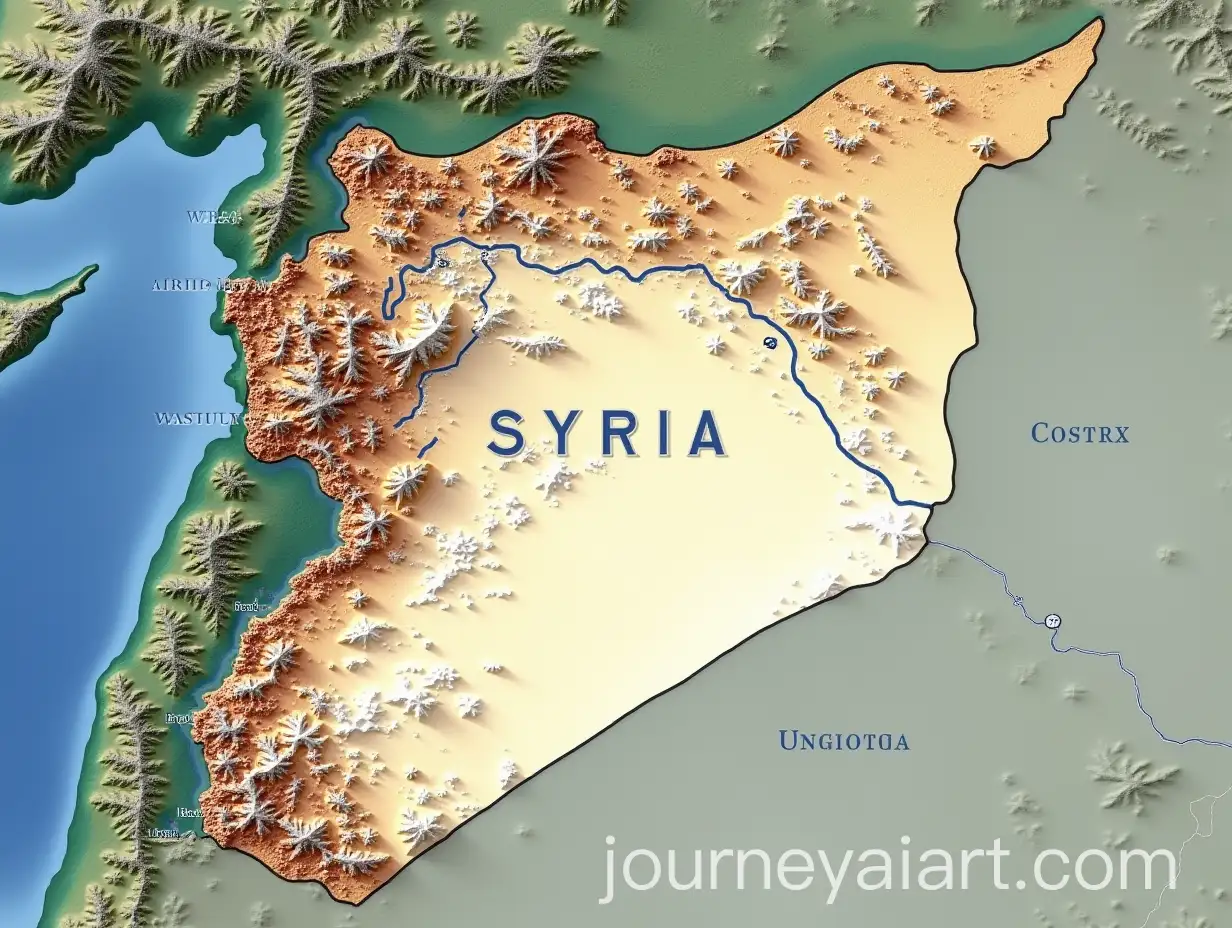
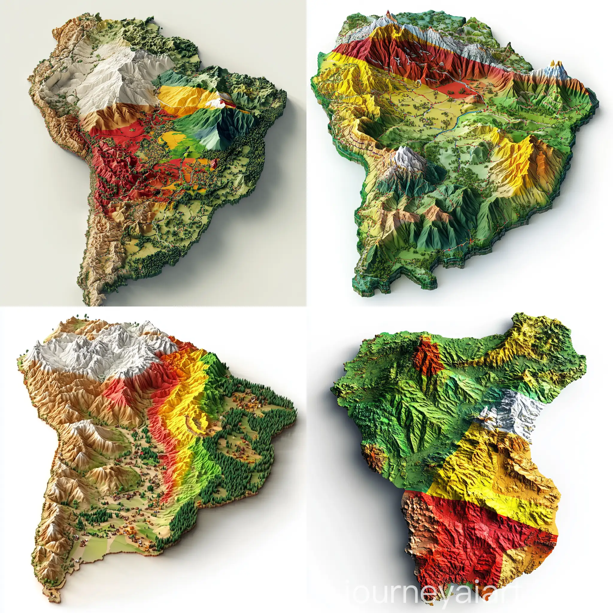
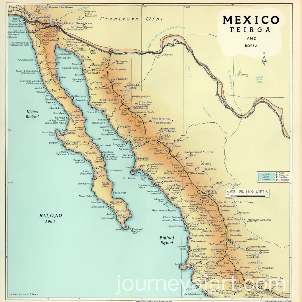
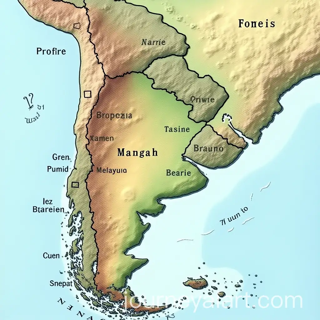
Topographic maps are detailed, graphical representations of natural and man-made features on the Earth's surface, highlighting elevation changes through contour lines. These maps have a rich history, originating from early cartographic methods and evolving with advancements in technology. Today, topographic maps are essential tools in various fields such as geography, geology, and outdoor navigation.
Understanding Topographic Maps: Definition and Background
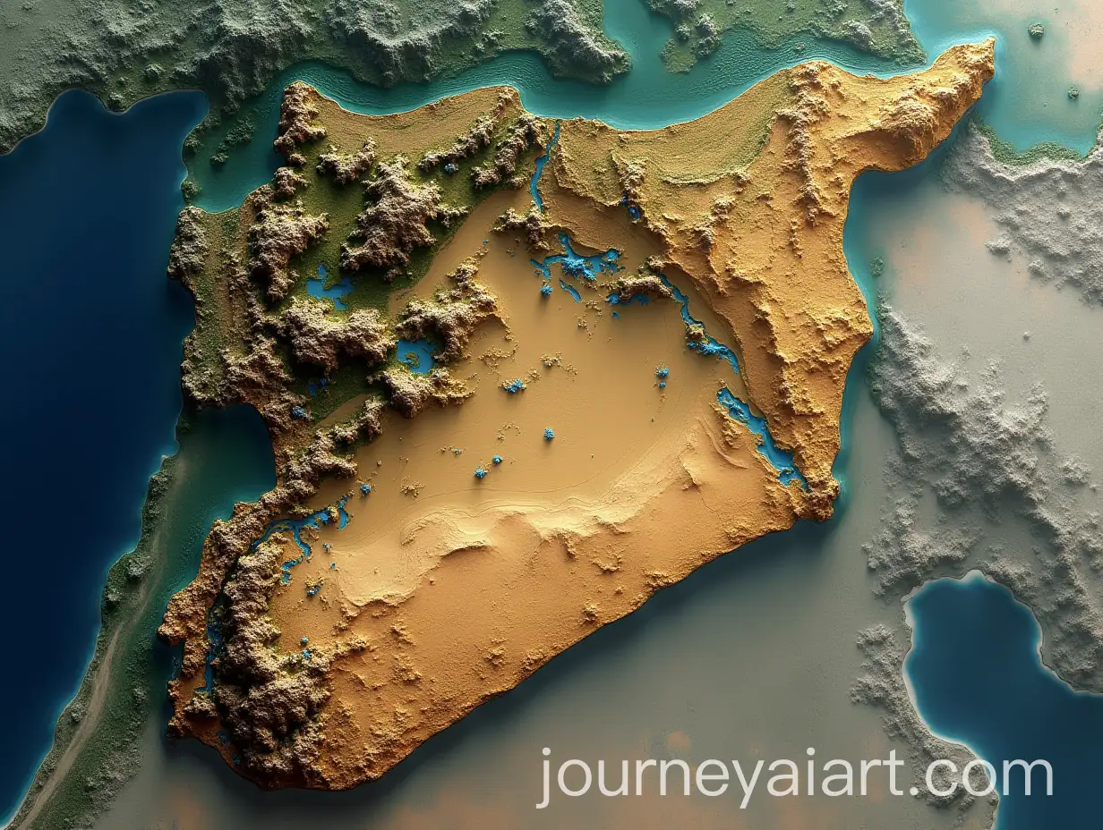
Topographic maps are distinguished by their use of contour lines to represent elevation and terrain features, making them invaluable for activities like hiking, urban planning, and environmental studies. These maps provide a three-dimensional perspective on two-dimensional paper, helping users visualize the landscape's shape and slope. In digital forms, they are used in Geographic Information Systems (GIS) for a wide range of scientific and industrial applications.
Key Characteristics and Applications of Topographic Maps
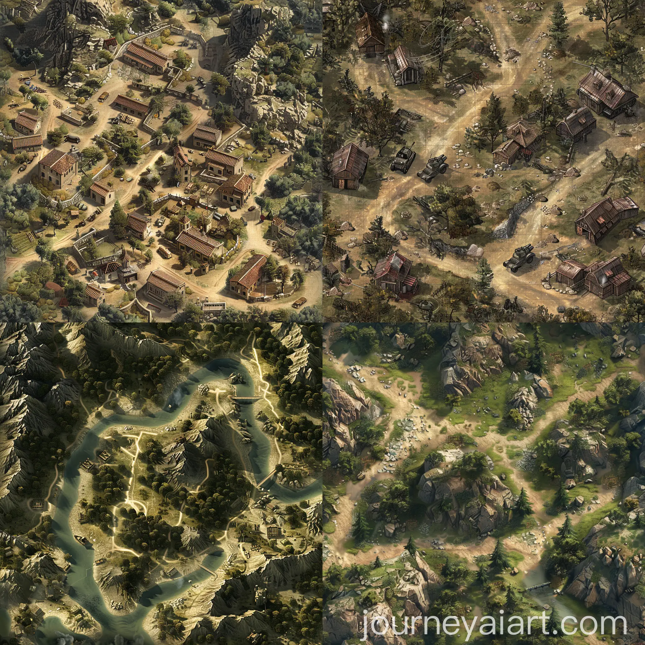
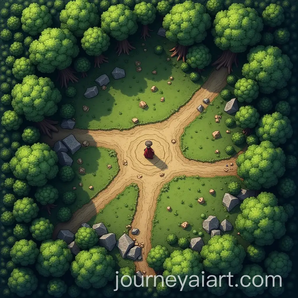
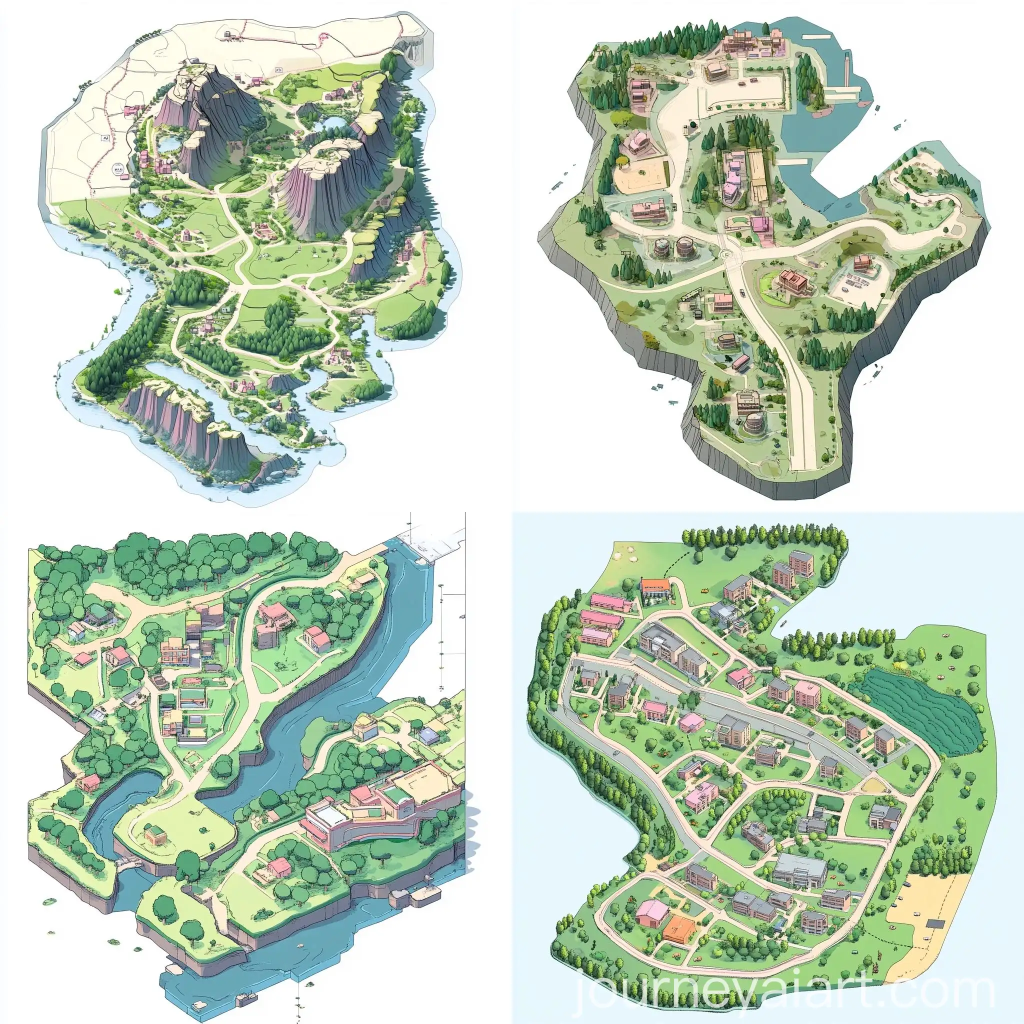
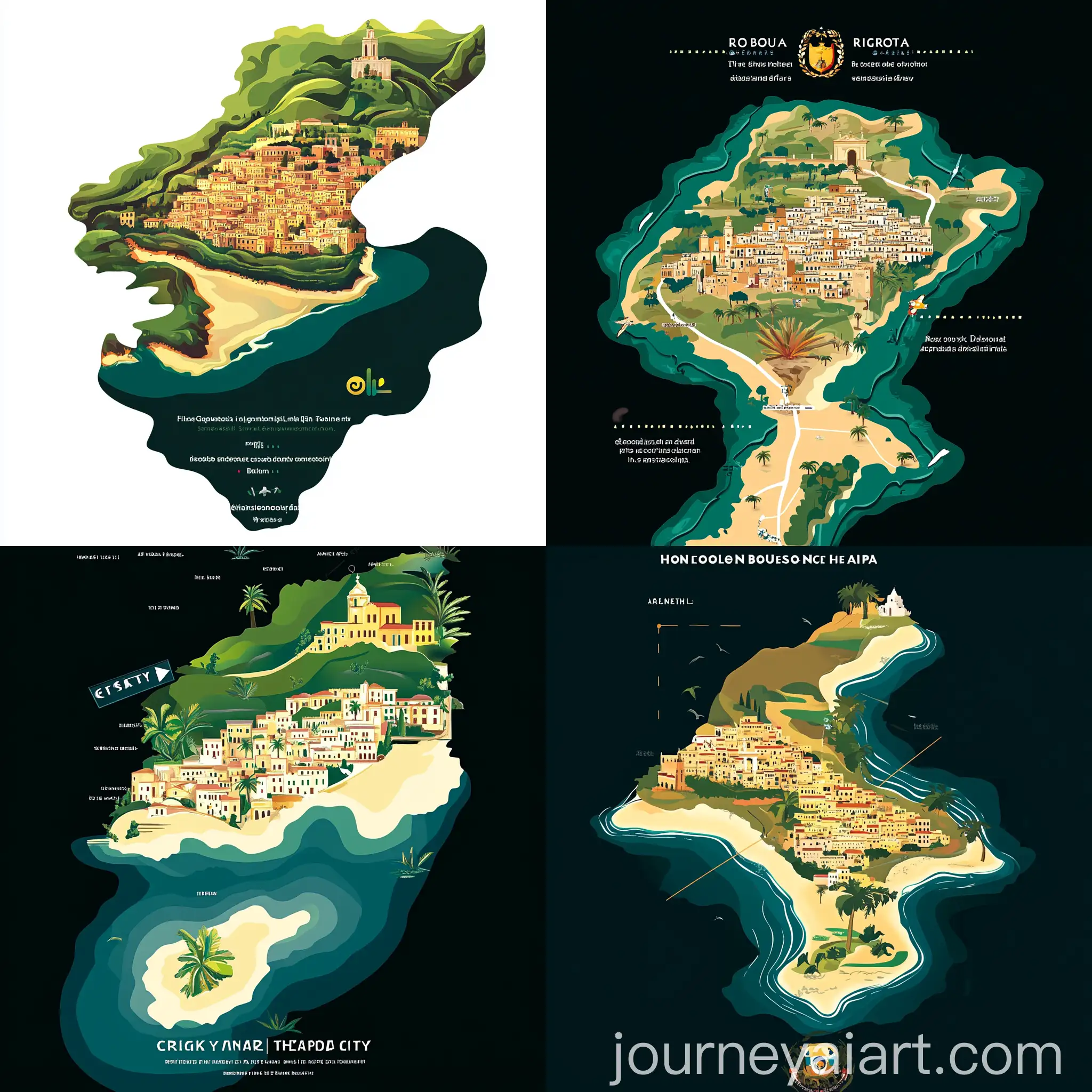
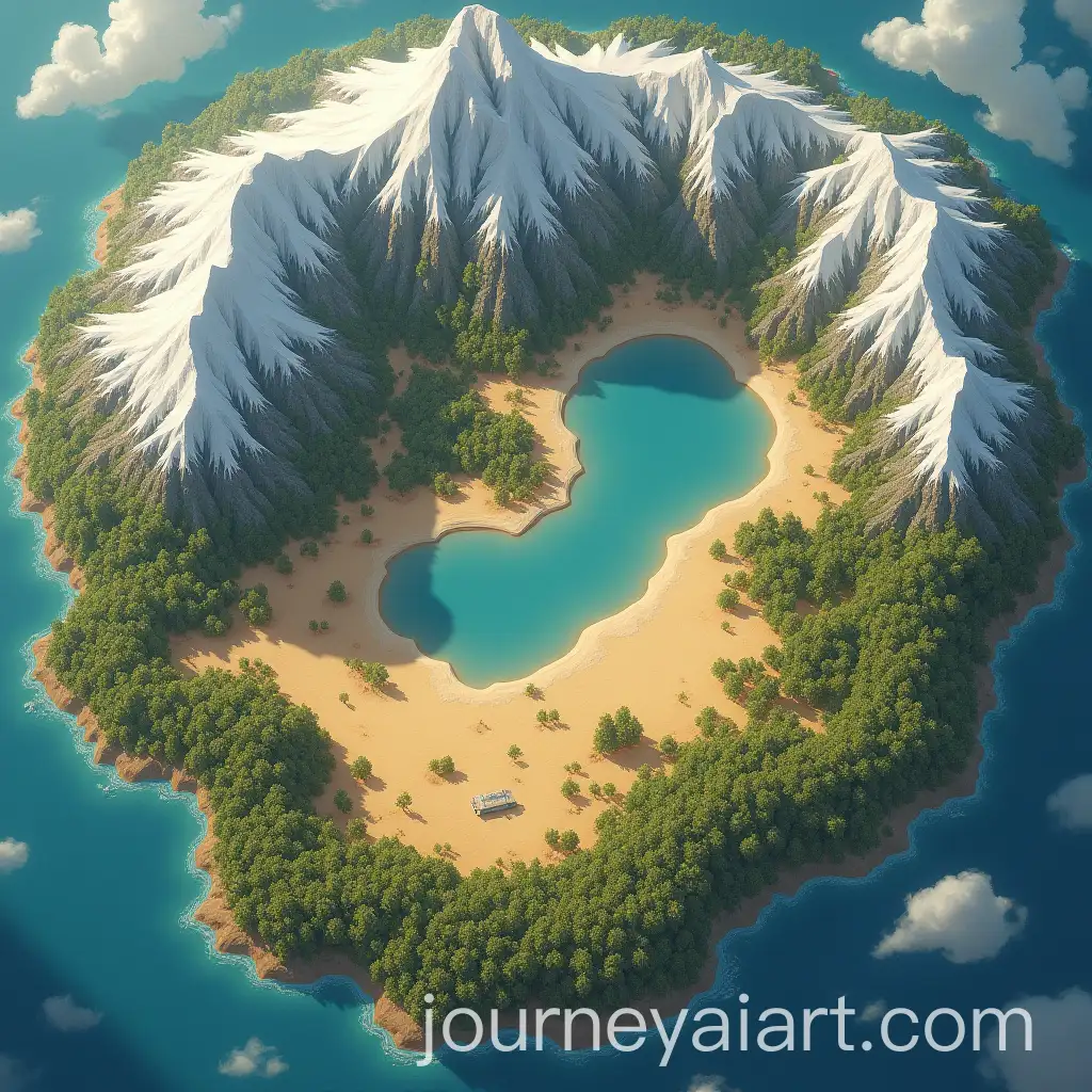
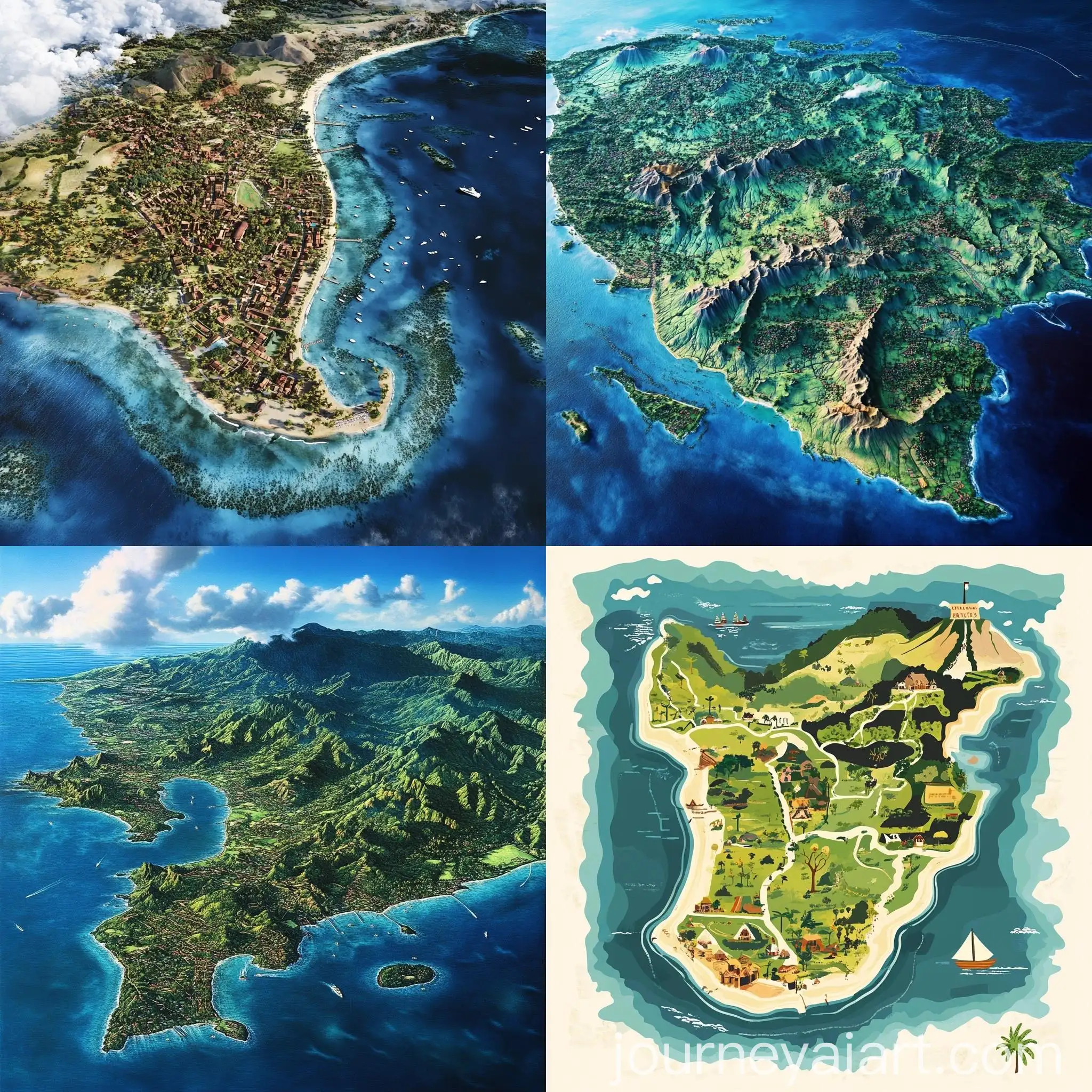
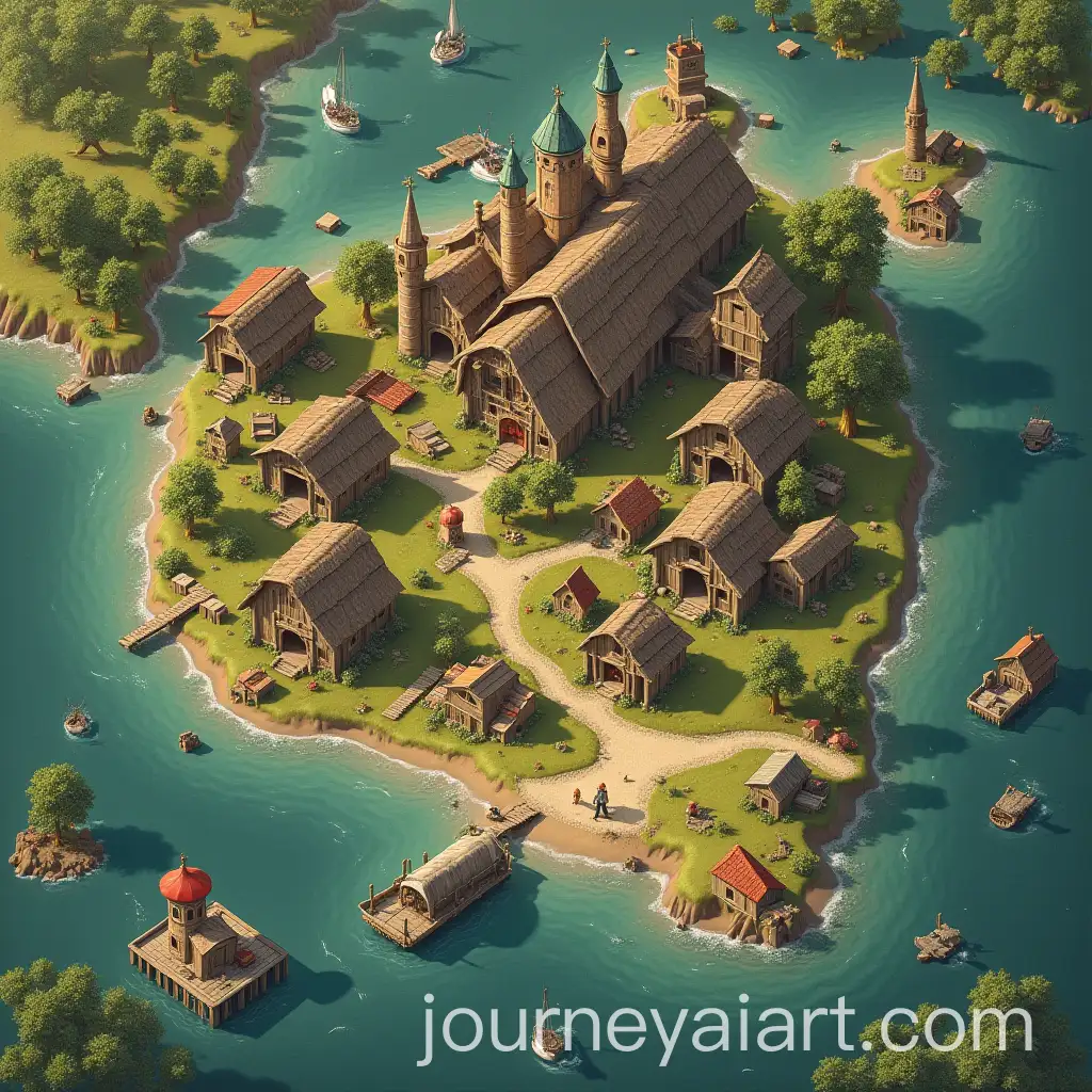
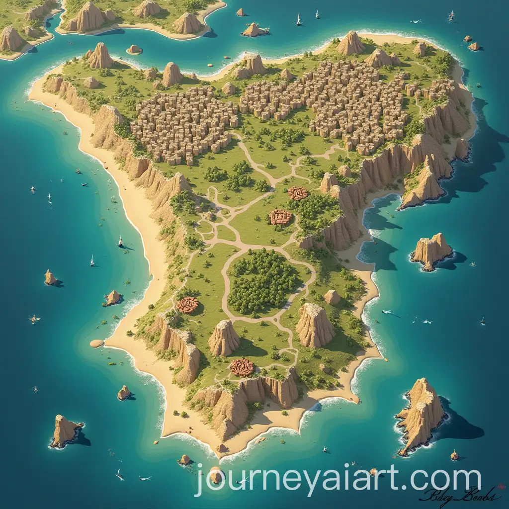
Topographic maps come in various styles, from traditional, hand-drawn maps to modern, digital renderings. Some maps focus on high detail for professional use, while others are simplified for recreational activities. There are also specialized types, such as bathymetric maps that detail underwater terrain and shaded relief maps that enhance the visual representation of landforms.
Exploring Different Styles and Types of Topographic Maps
Creating topographic maps with AI tools is now accessible to both professionals and hobbyists. By using AI image generation platforms, users can input specific prompts related to elevation, terrain type, and map style to produce custom topographic maps. The 'open in editor' feature on our website allows users to tweak these prompts further, ensuring the generated image meets their exact specifications, whether for educational, planning, or creative purposes.
How to Create Your Own Topographic Maps with AI Tools