29 Free Map Illustrations Midjourney AI images
Welcome to our Map Illustrations collection, showcasing 29 free AI-generated images. Explore a wide variety of map styles, including stock photos, 3D objects, vectors, and illustrations. All images are available for high-resolution download, and with our 'open in editor' feature, you can easily adjust prompts to regenerate your ideal map image.


Related Tags
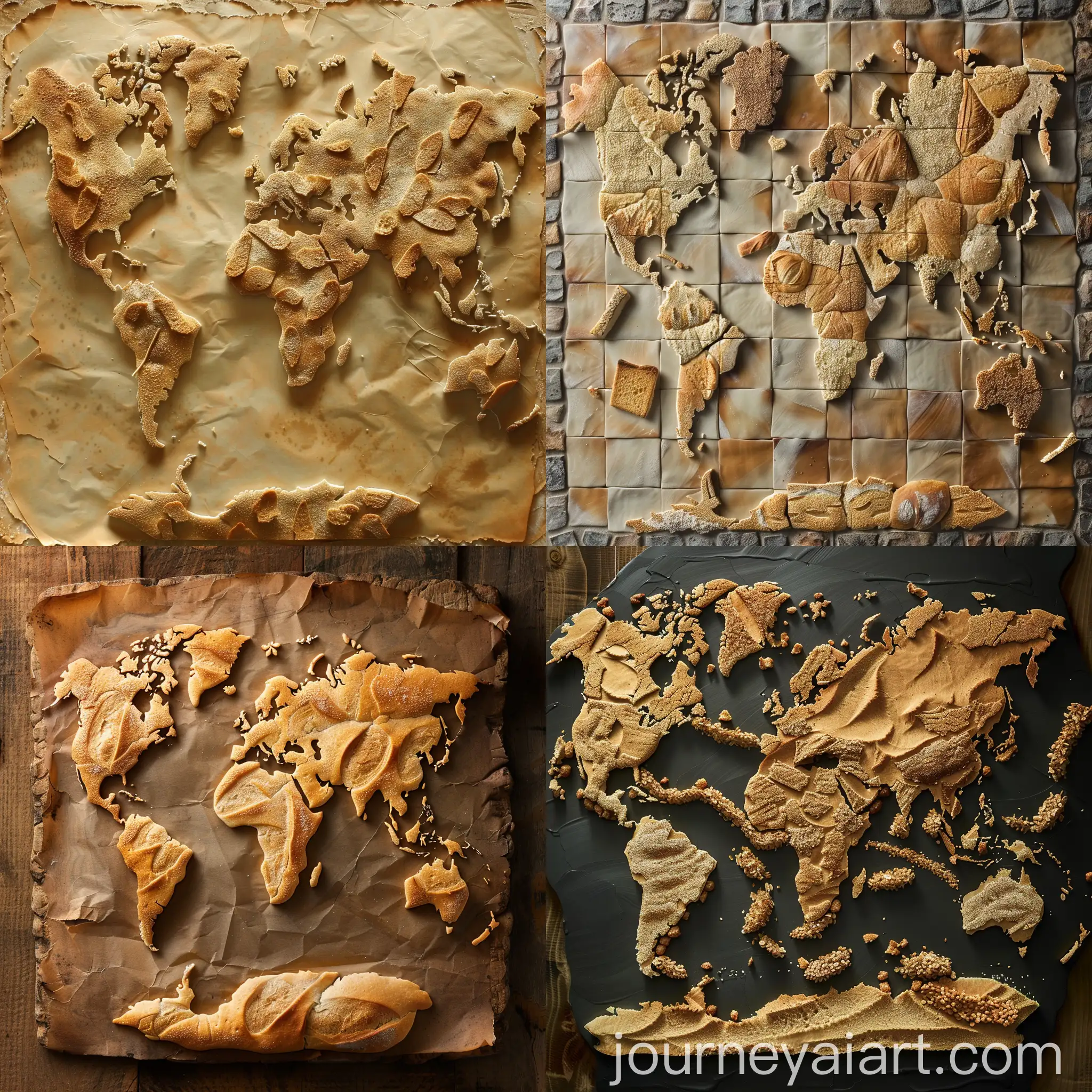
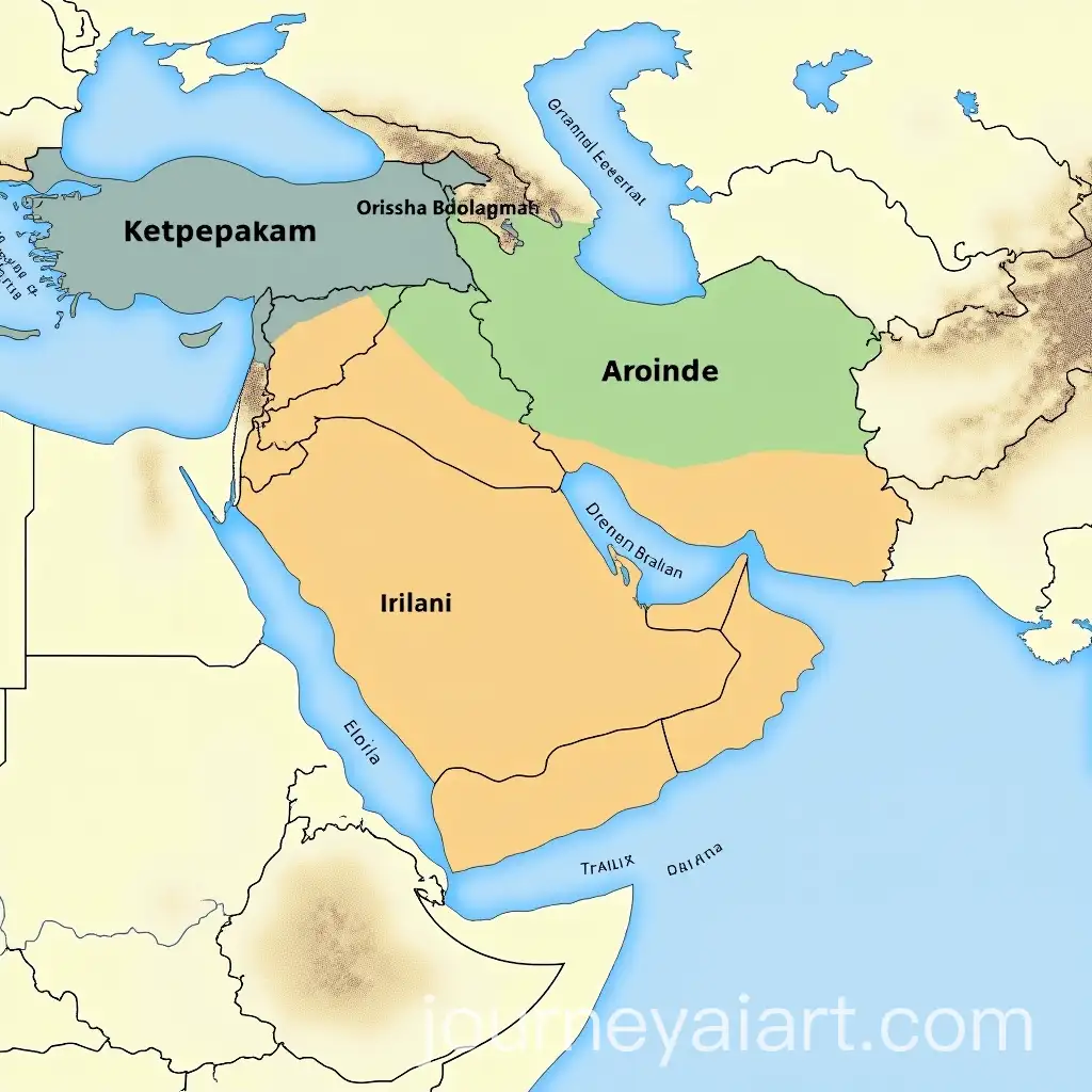
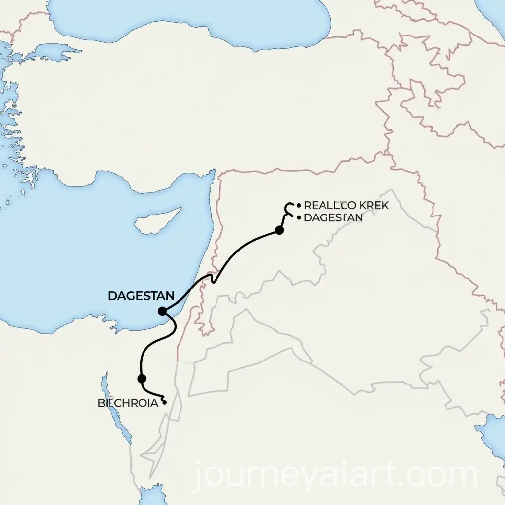
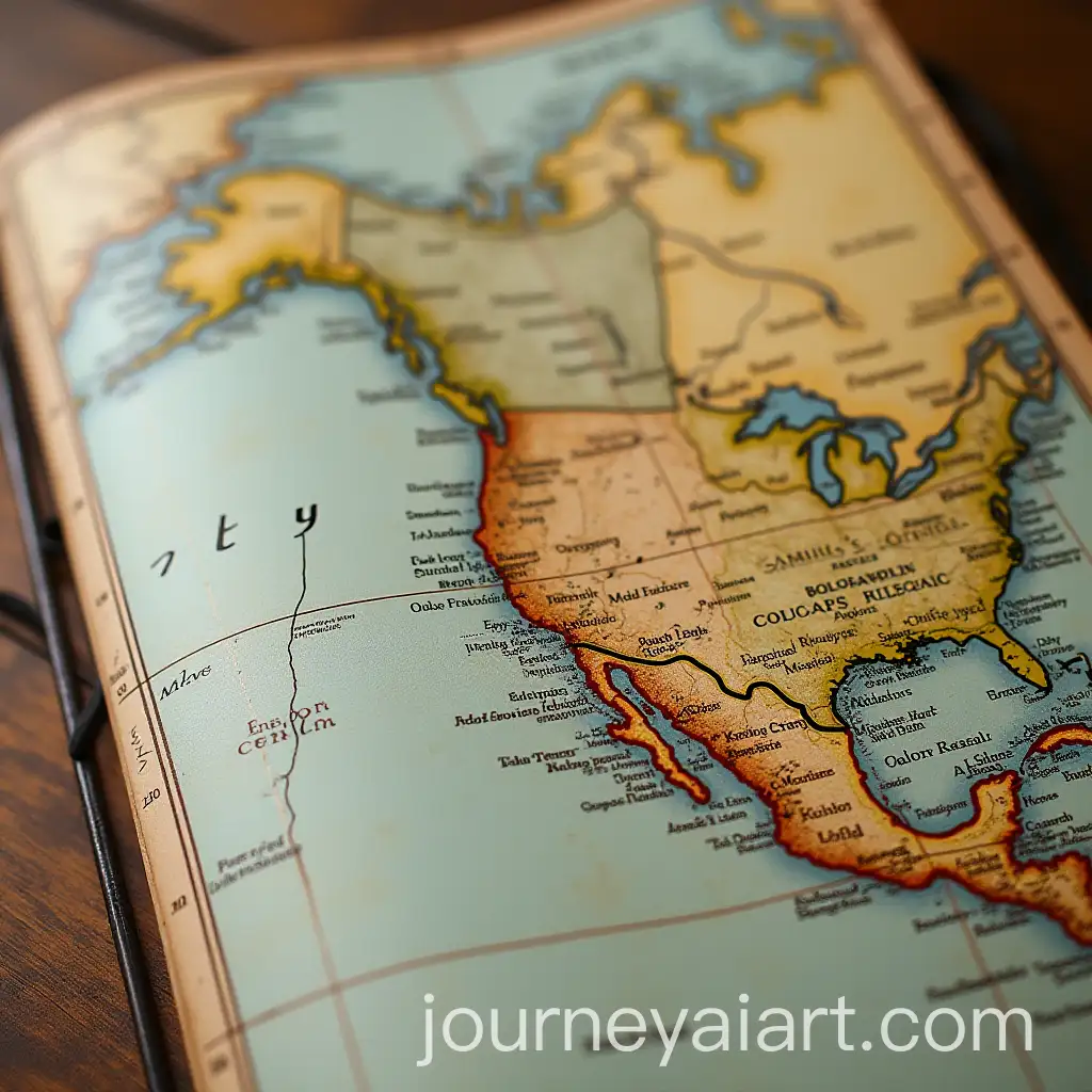
Map Illustrations are artistic representations of geographical information, often stylized to convey not just location, but also culture, history, and artistic vision. Historically, map-making dates back to ancient civilizations, with early examples found in Babylonian clay tablets and medieval manuscript maps. Over time, these illustrations evolved from functional cartography to artistic expressions, blending accurate geography with intricate design. Today, AI-generated map illustrations are pushing the boundaries of traditional map-making, allowing for creative, abstract, and highly detailed interpretations that suit various needs.
What Are Map Illustrations and Their Historical Background
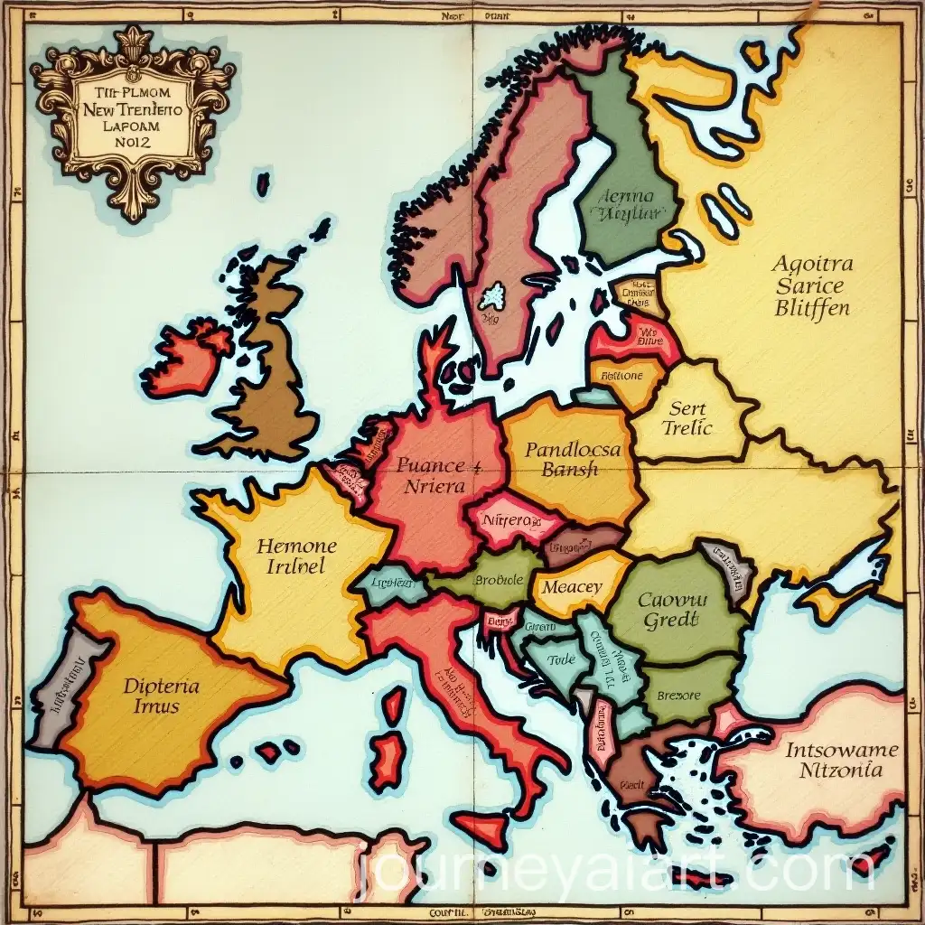
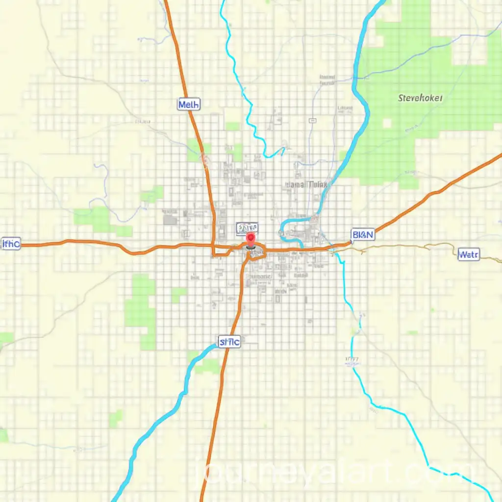
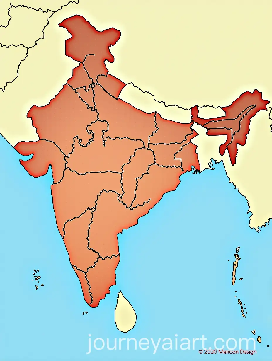
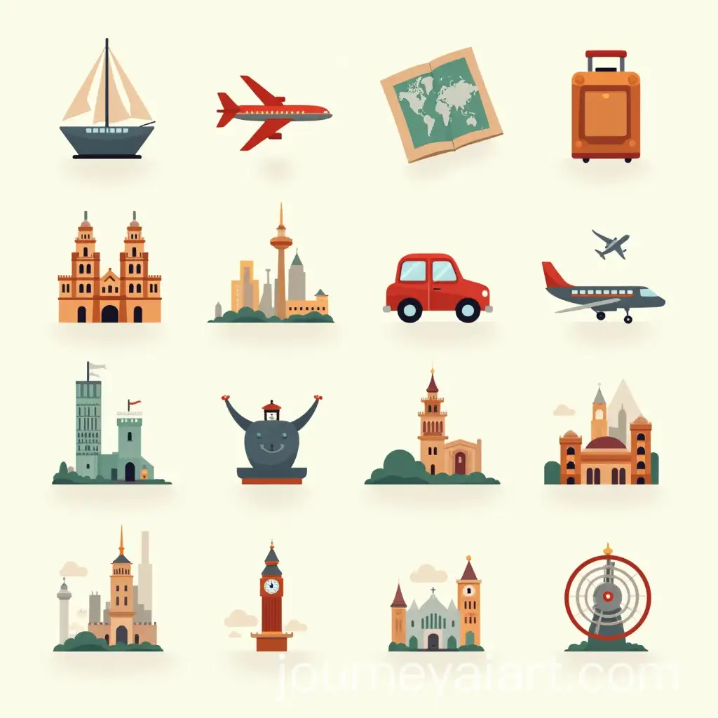
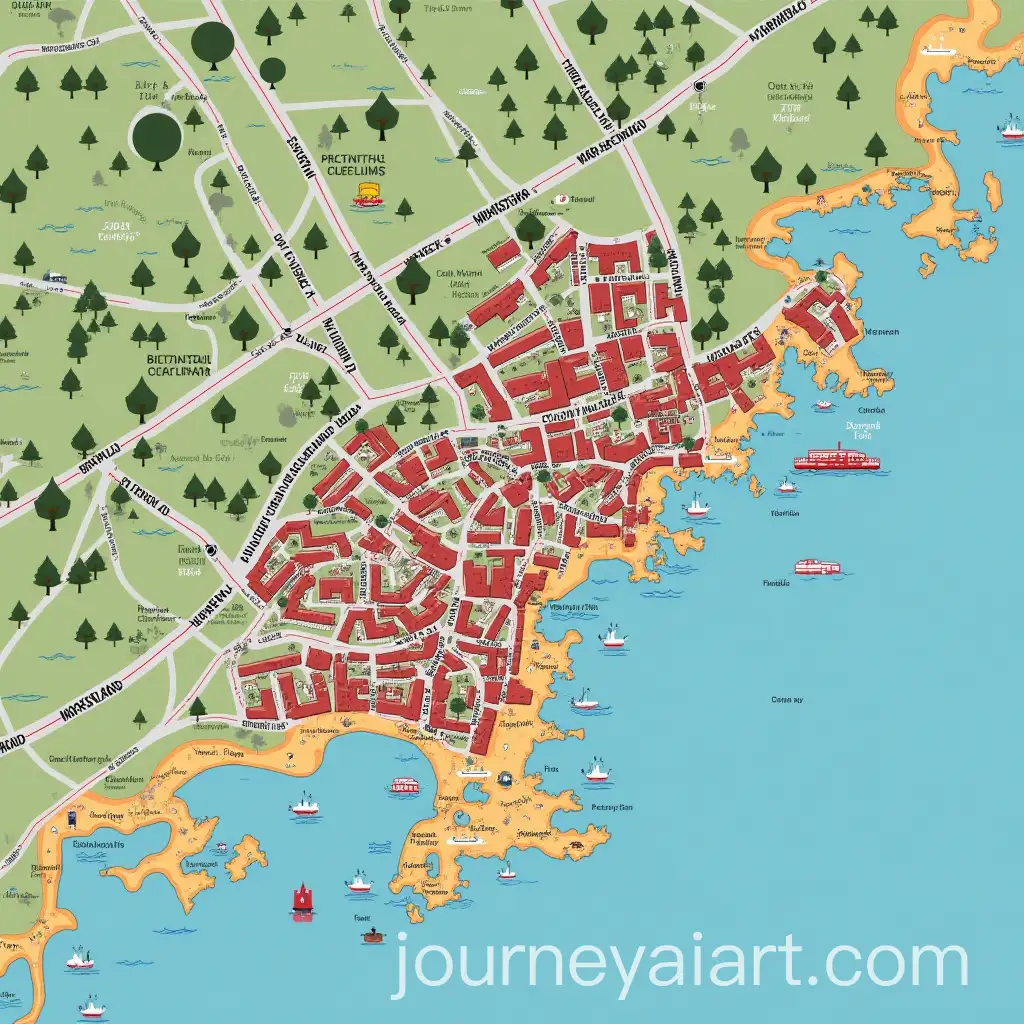
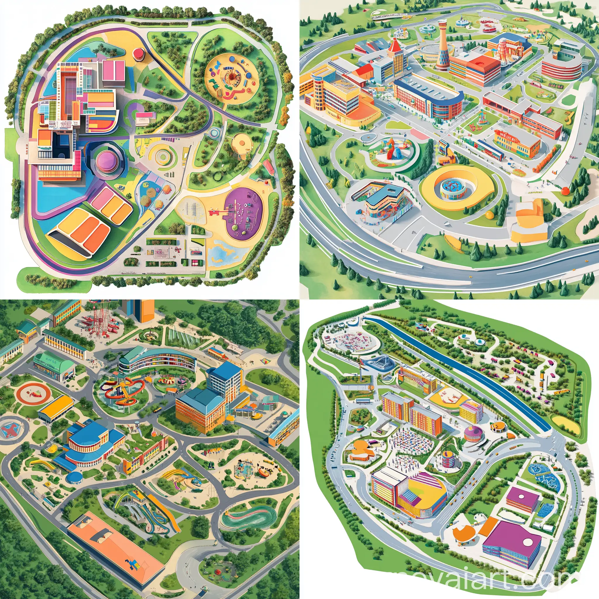
Map Illustrations come in various styles, from vintage maps inspired by 18th-century cartography to modern, minimalist designs. Other popular types include fantasy maps used in storytelling, topographic maps for scientific purposes, and city maps for urban planning. These styles cater to different industries—tourism, gaming, education, and even real estate. AI-generated maps can instantly adapt to any of these styles, offering unique visual solutions that are both functional and aesthetic.
Different Styles of Map Illustrations and Their Applications
AI has revolutionized the creation of map illustrations, enabling artists and designers to produce detailed and complex maps in a fraction of the time it once took. Through AI, users can experiment with different styles, textures, and map types simply by adjusting prompts. Whether creating an artistic fantasy map for a novel or generating an accurate urban map for a real estate project, AI offers the flexibility to bring a variety of map ideas to life quickly and effectively. The 'open in editor' feature allows users to refine their maps by customizing the design and adding personal touches.
The Role of AI in Creating Modern Map Illustrations
The future of AI-generated map illustrations is poised to evolve with advances in machine learning and graphic design tools. As algorithms become more sophisticated, AI will offer even more precise control over artistic details, scale, and customization. New features like interactive maps, dynamic 3D renderings, and personalized geographical visualizations will likely become standard. These advancements will empower professionals in industries like gaming, virtual reality, urban planning, and tourism, making map illustrations not just visual aids but interactive, immersive experiences.
Future Trends in AI-Generated Map Illustrations