23 Free Interactive map Midjourney AI images
Explore our Interactive Map image collection, showcasing 23 free AI-generated images. These images include stock photos, 3D objects, vectors, and illustrations, all available for high-resolution download. With the 'open in editor' feature, you can customize prompts and regenerate images to fit your exact needs.


Related Tags
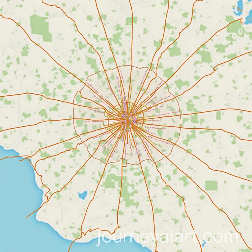
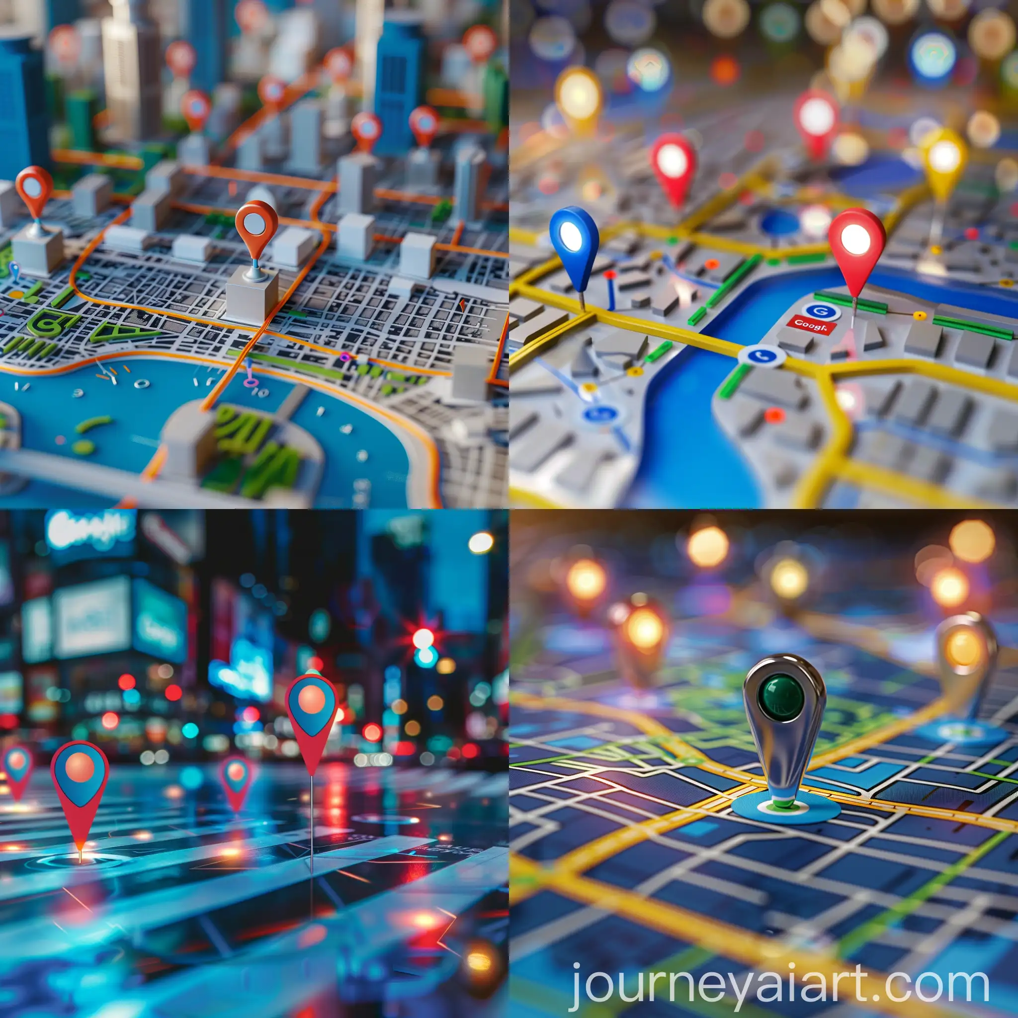
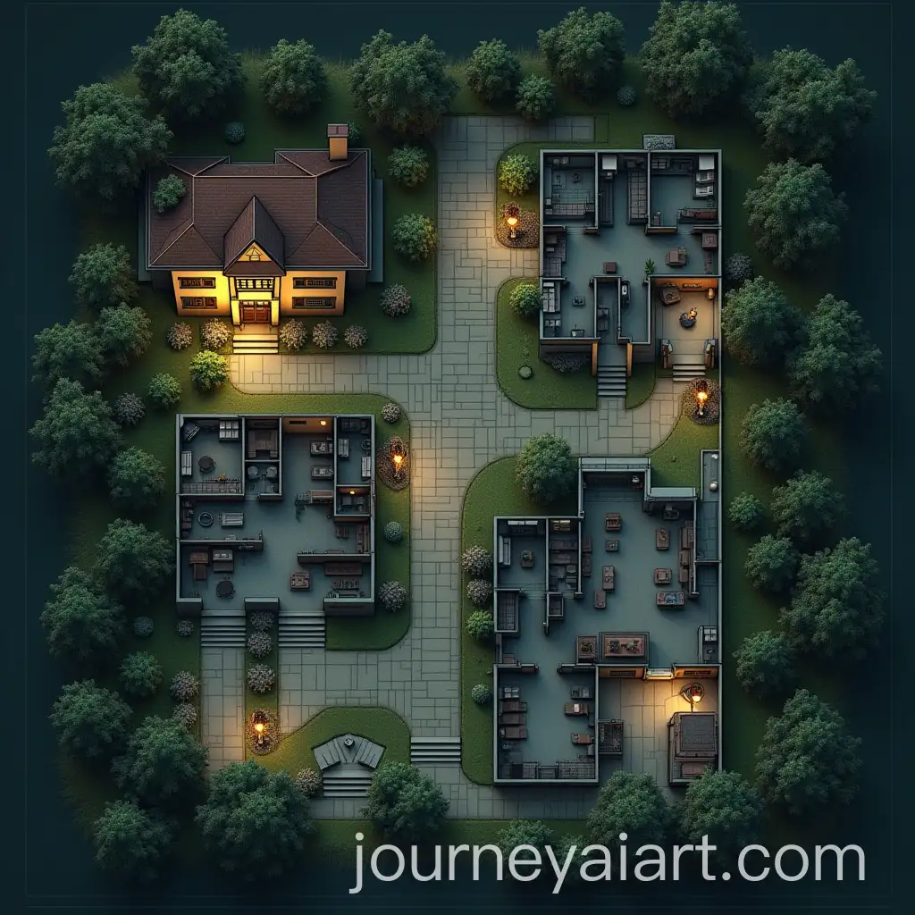
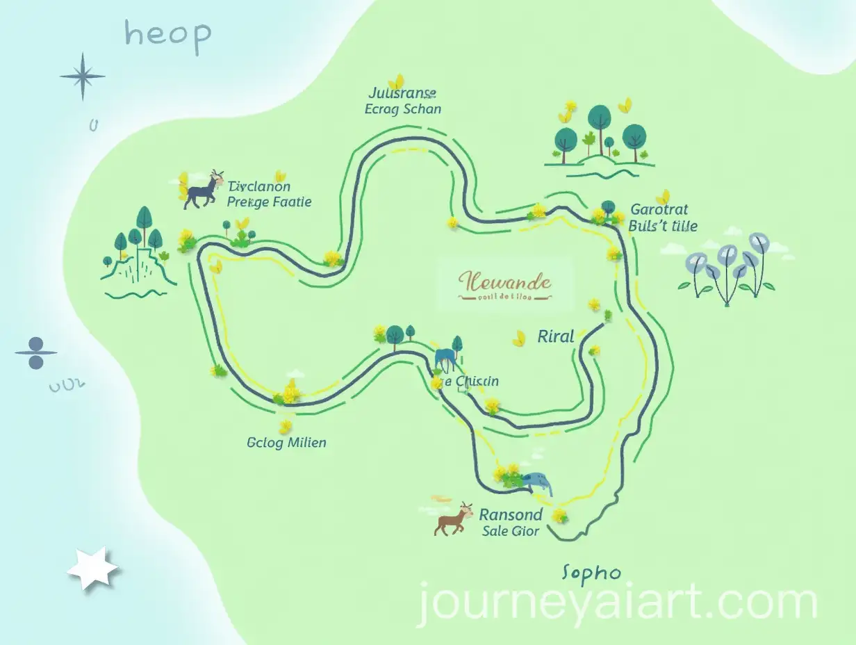
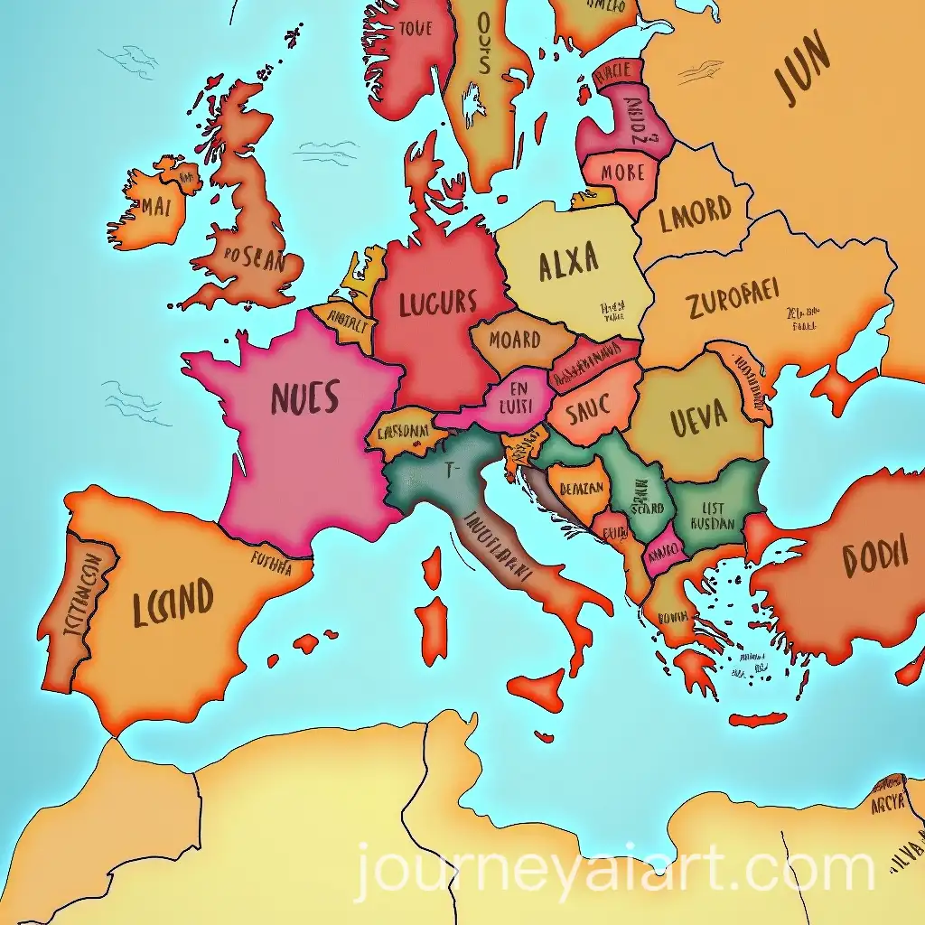
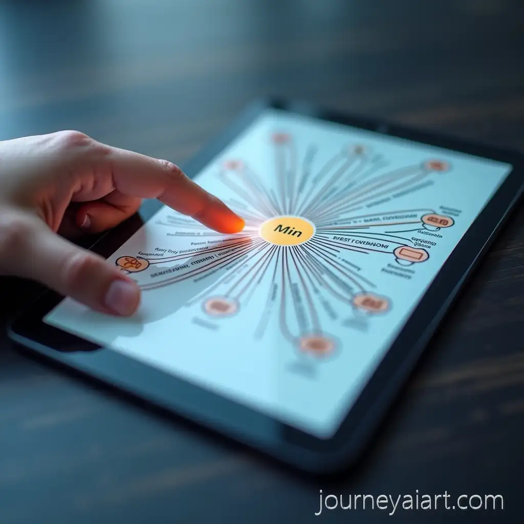
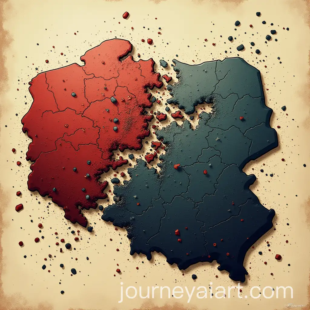
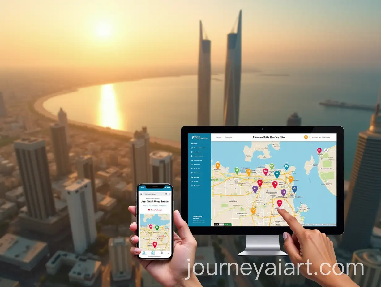
An interactive map is a dynamic, user-engaged visual tool that allows users to explore geographic or spatial data by clicking, zooming, or hovering over specific areas. It provides more than just static information, offering layers of data such as demographics, transportation routes, and environmental factors. These maps are widely used in apps, websites, and presentations for their ability to engage viewers and convey complex information in an intuitive way.
What Is an Interactive Map and How Does It Work?
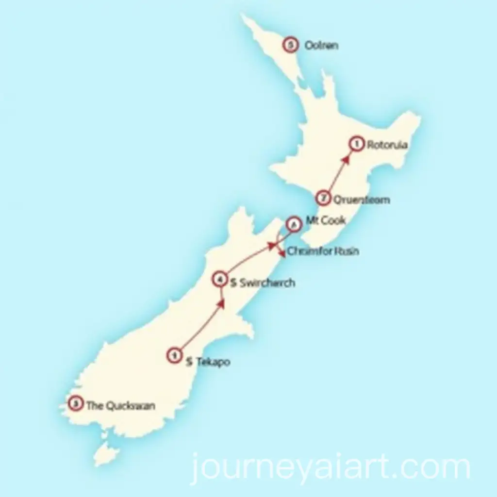
Interactive maps are employed in diverse fields such as education, real estate, urban planning, and logistics. In education, they allow students to explore historical events and geographical data interactively. Real estate websites use them to showcase properties in different neighborhoods, while urban planners rely on interactive maps to visualize infrastructure projects and zoning. Logistics companies use these maps to track deliveries and optimize routes in real time, enhancing efficiency.
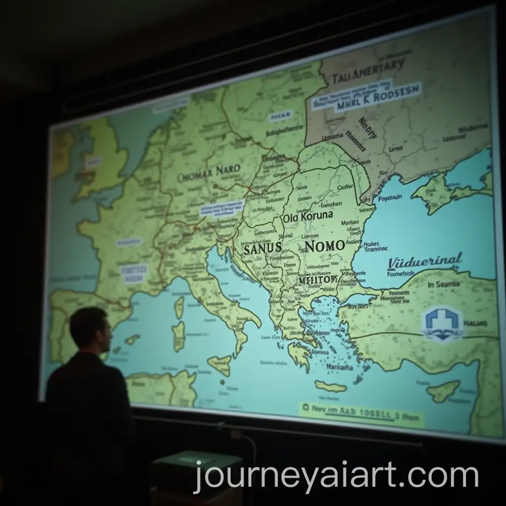
Applications of Interactive Maps in Various Industries
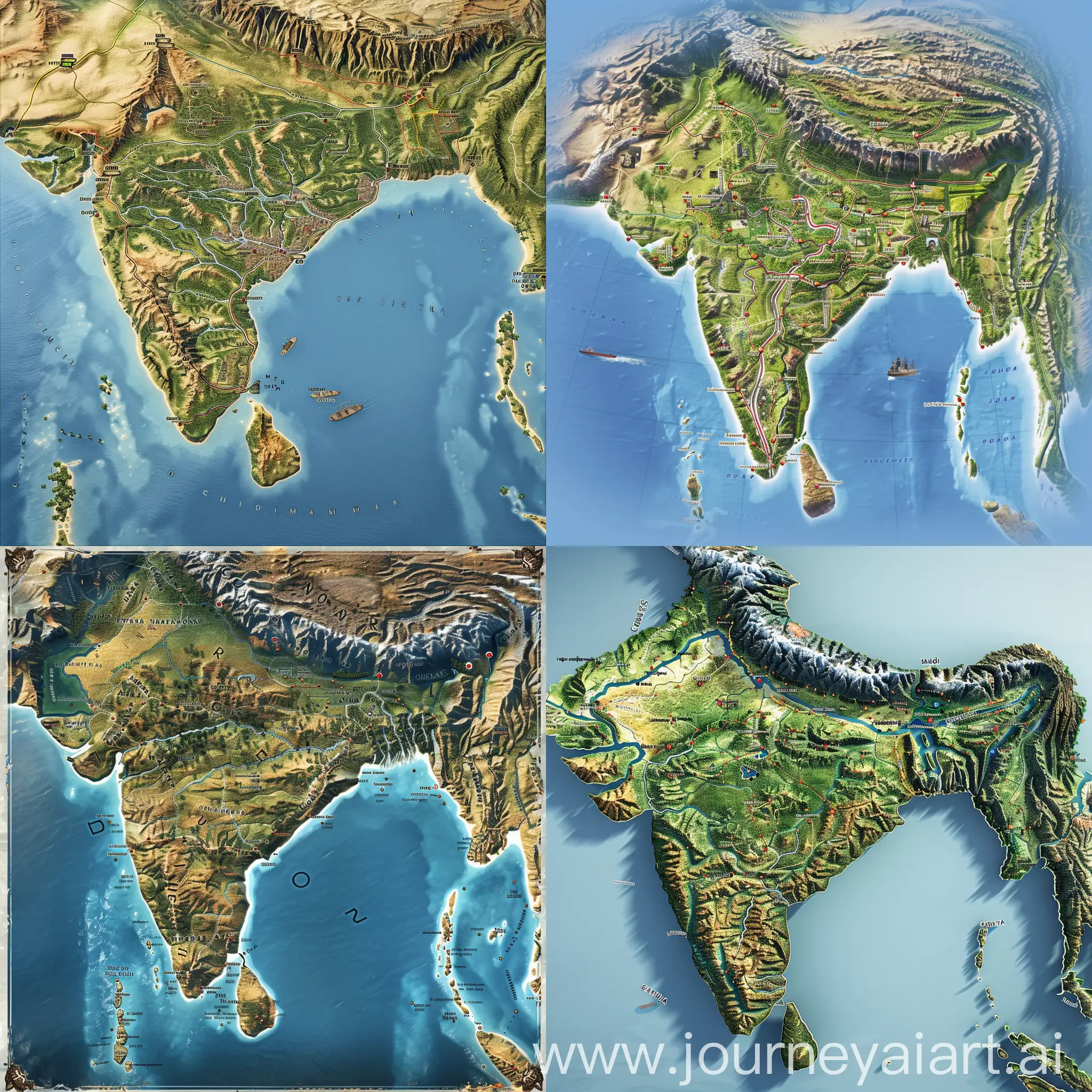
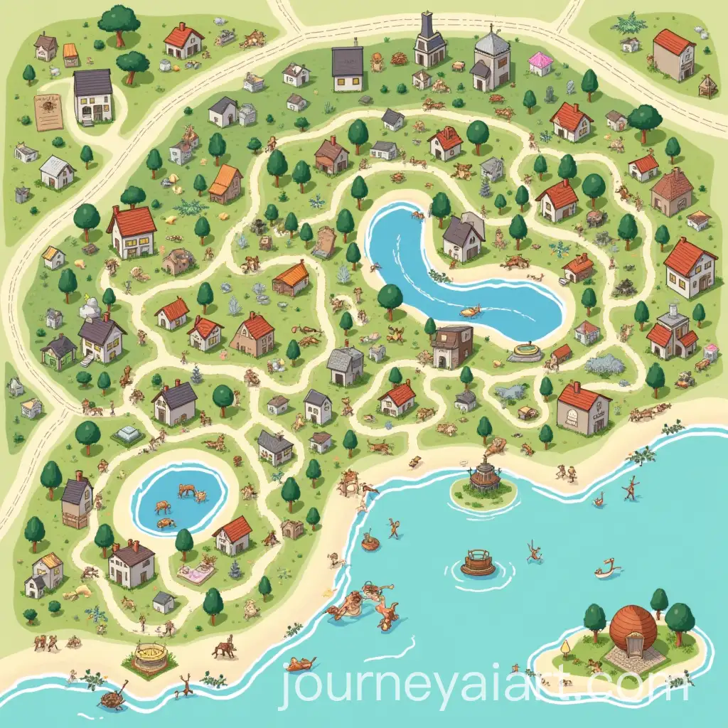
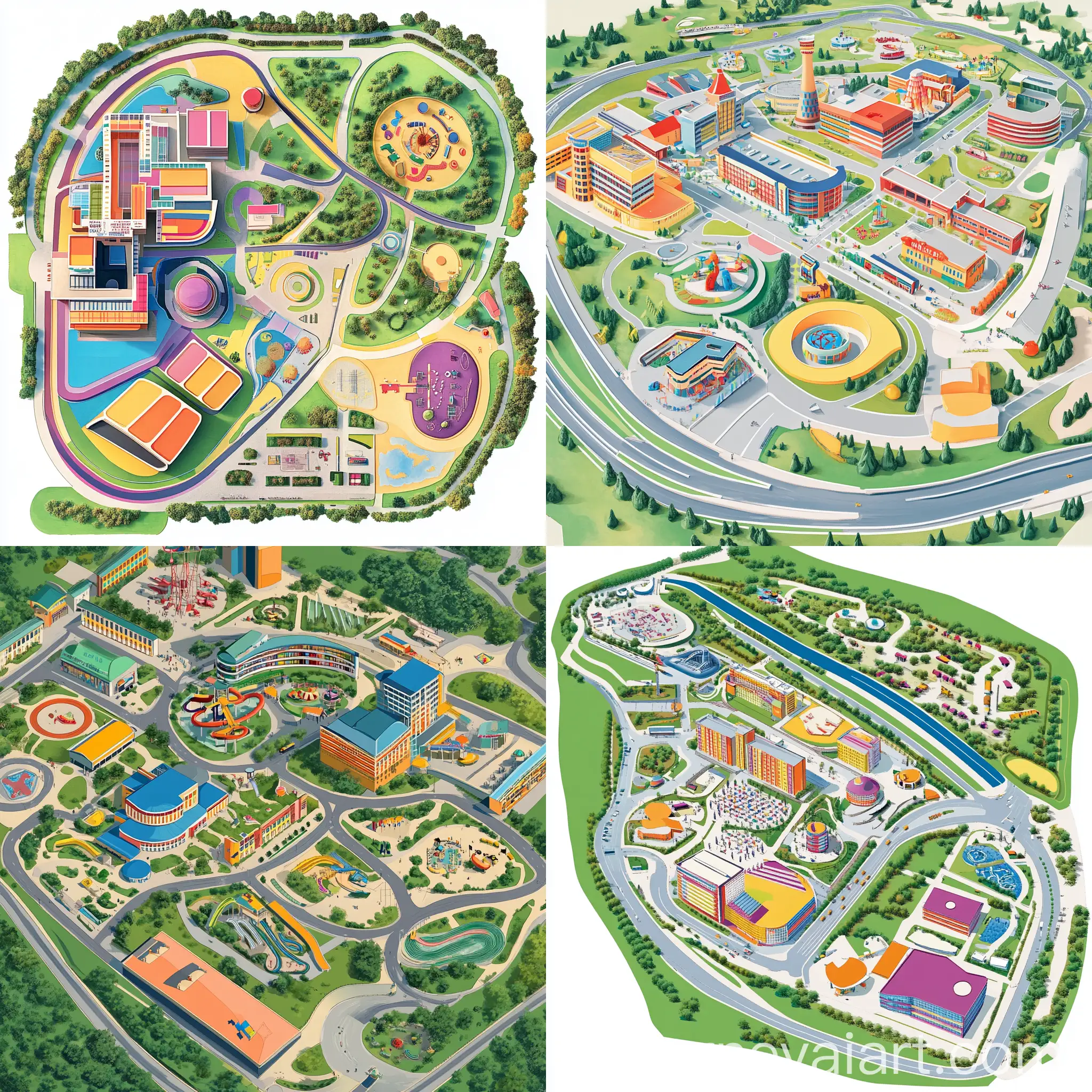
AI-generated interactive map images come in various styles and formats, from minimalistic vector designs to highly detailed 3D renderings. Vector maps are often used for creating clean, scalable visuals perfect for websites and apps. On the other hand, 3D maps offer immersive, detailed representations of terrain and landscapes, making them ideal for gaming, simulations, and architectural presentations. The diversity in styles allows for flexibility in visual communication, depending on the project's needs.
Styles and Formats of Interactive Map Images
With AI-generated image tools, creating custom interactive maps has never been easier. Users can input specific prompts to generate maps that cater to their requirements, such as focusing on certain regions, adding custom labels, or emphasizing particular data points. The 'open in editor' feature on our platform allows users to tweak existing map designs by modifying prompts, enabling them to regenerate new images that better fit their vision and use case.
How to Customize and Generate Your Own Interactive Maps Using AI