17 Free Geography Illustrations Midjourney AI images
Welcome to our Geography Illustrations collection, featuring 17 free AI-generated images under the 'Geography Illustrations' tag. Explore a diverse selection of images, including stock photos, 3D objects, vectors, and illustrations. All images are available for high-resolution download, and you can use the 'open in editor' feature to tweak prompts and regenerate your desired image.


Related Tags
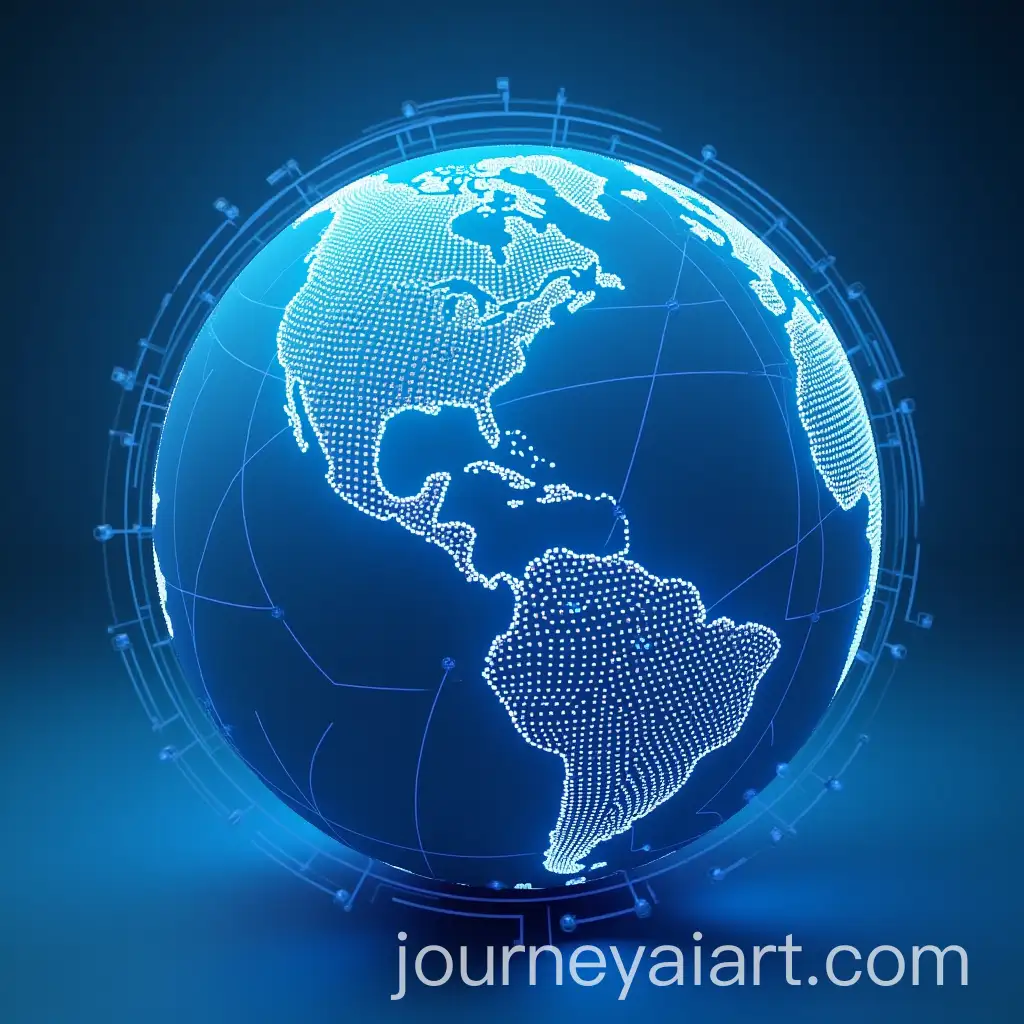
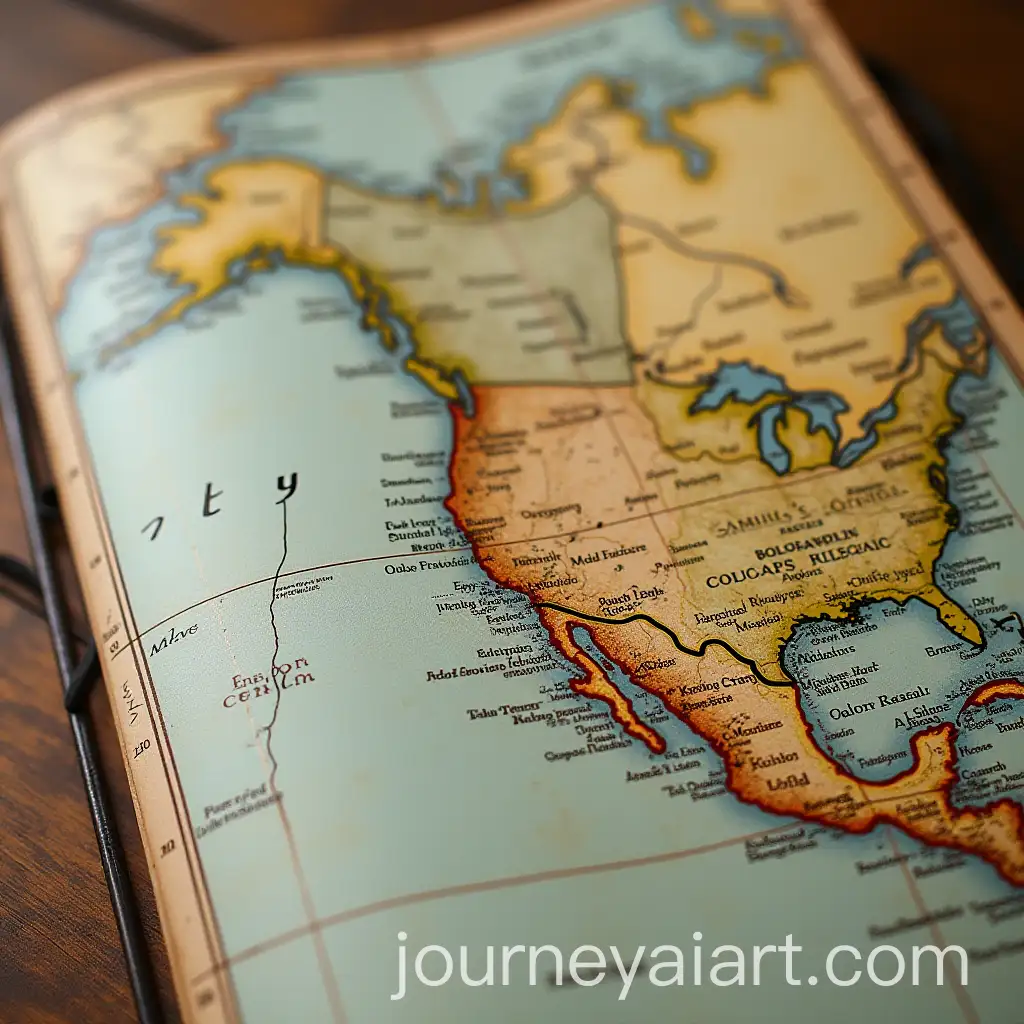
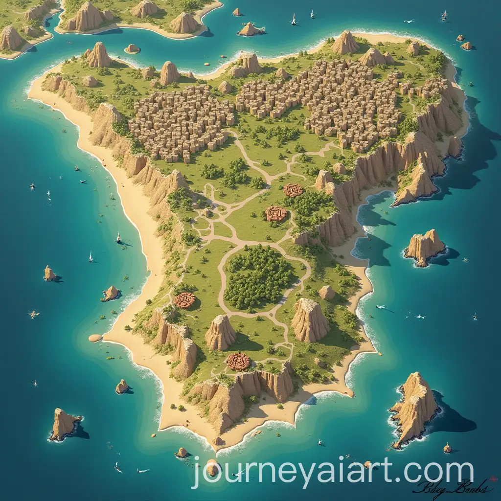
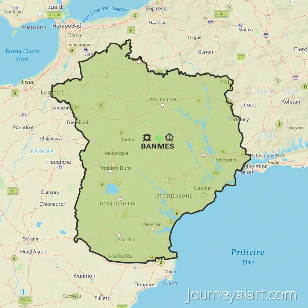
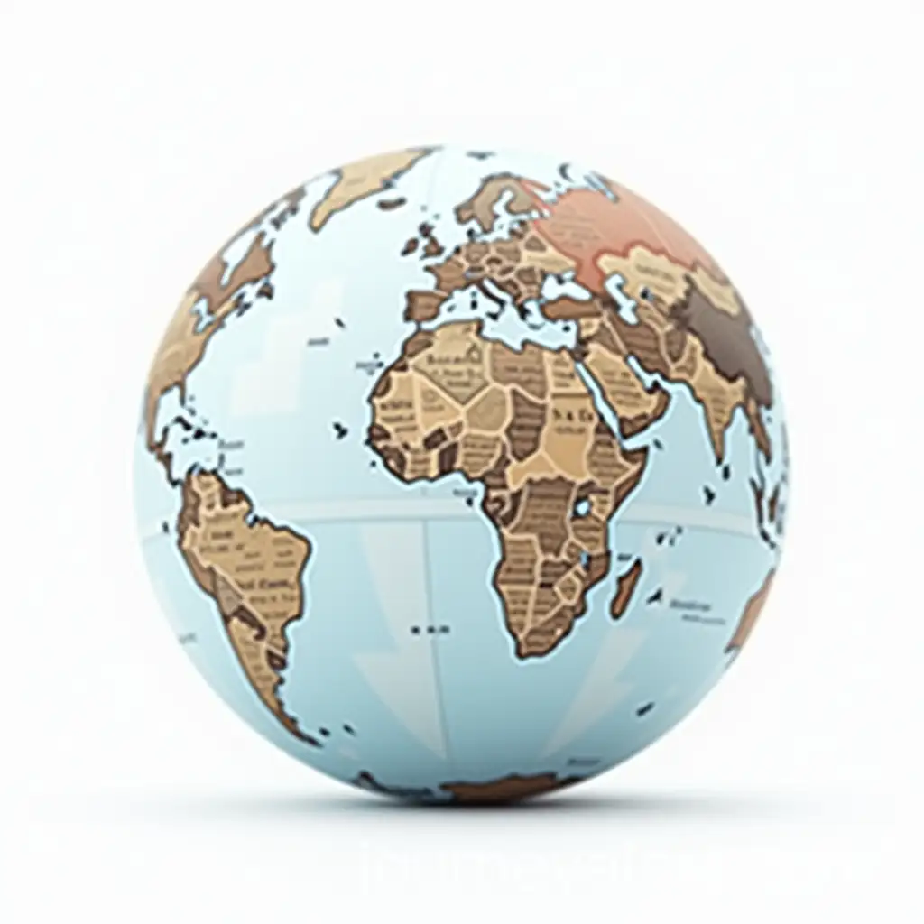
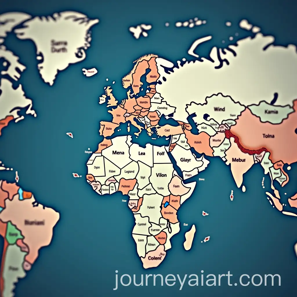
Geography illustrations refer to visual depictions of geographical features, landscapes, and concepts. These illustrations can include anything from topographic maps, terrain features like mountains and rivers, to more abstract representations of climate patterns and population densities. The role of these images is crucial in helping people visualize complex geographical data and gain a better understanding of the world around them. AI-generated Geography Illustrations are particularly beneficial as they can be customized to fit specific needs, providing accurate, high-quality, and visually engaging representations of geographical concepts.
Defining Geography Illustrations and Their Role in Visual Representation
AI-generated Geography Illustrations have vast applications across multiple industries. In education, they are used in textbooks, interactive maps, and online learning resources, making complex geographical concepts easier to grasp for students. In urban planning and environmental studies, these illustrations help professionals model landscapes, study geographical changes, and predict future developments. Additionally, these images are valuable in fields like tourism marketing, where they help create engaging promotional content for destinations, and in media, where they visually enrich documentaries or news stories related to global issues like climate change.
Applications of AI-Generated Geography Illustrations Across Various Fields
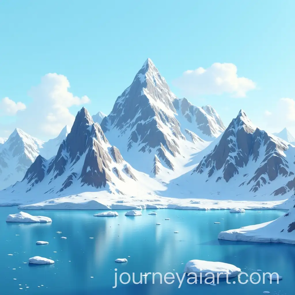
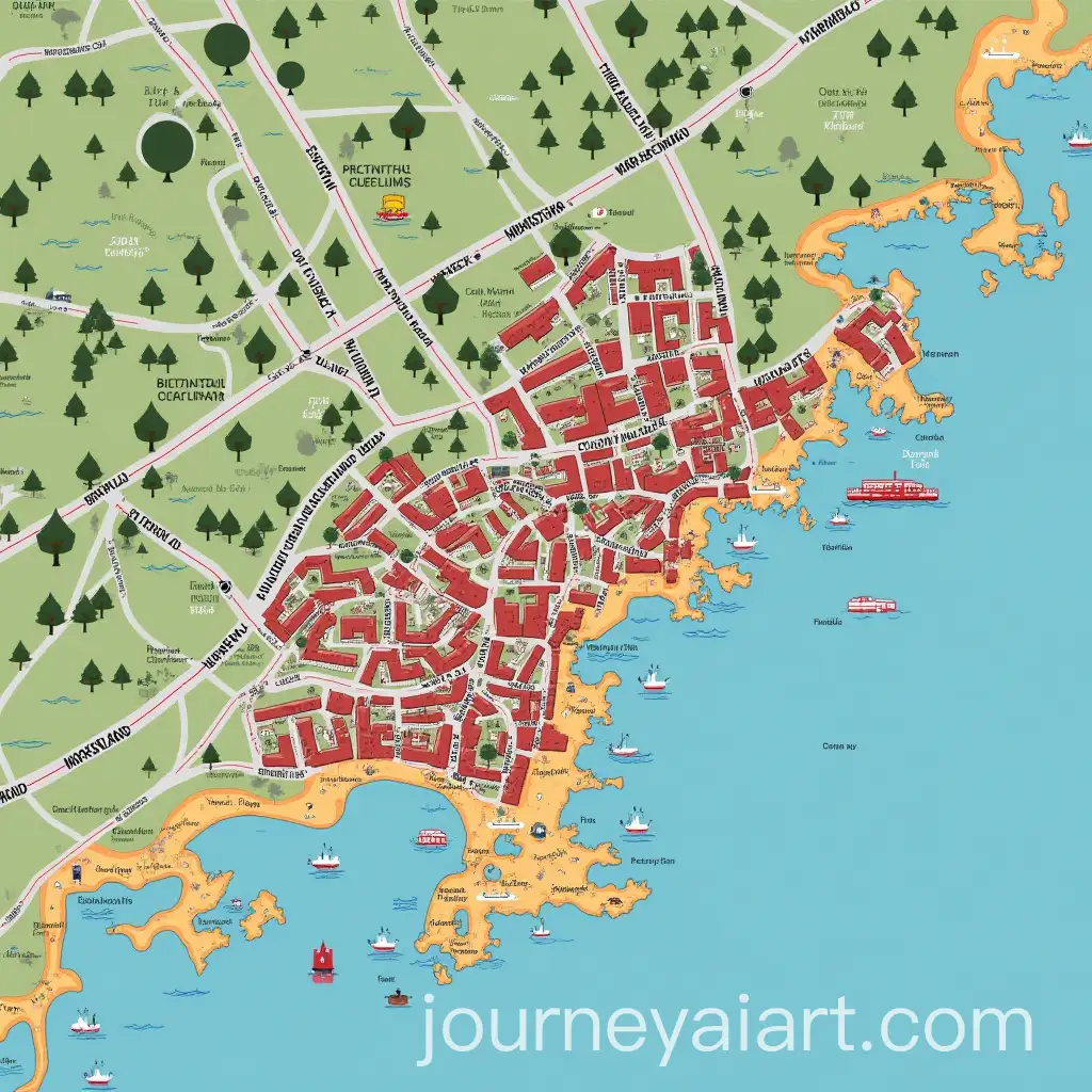
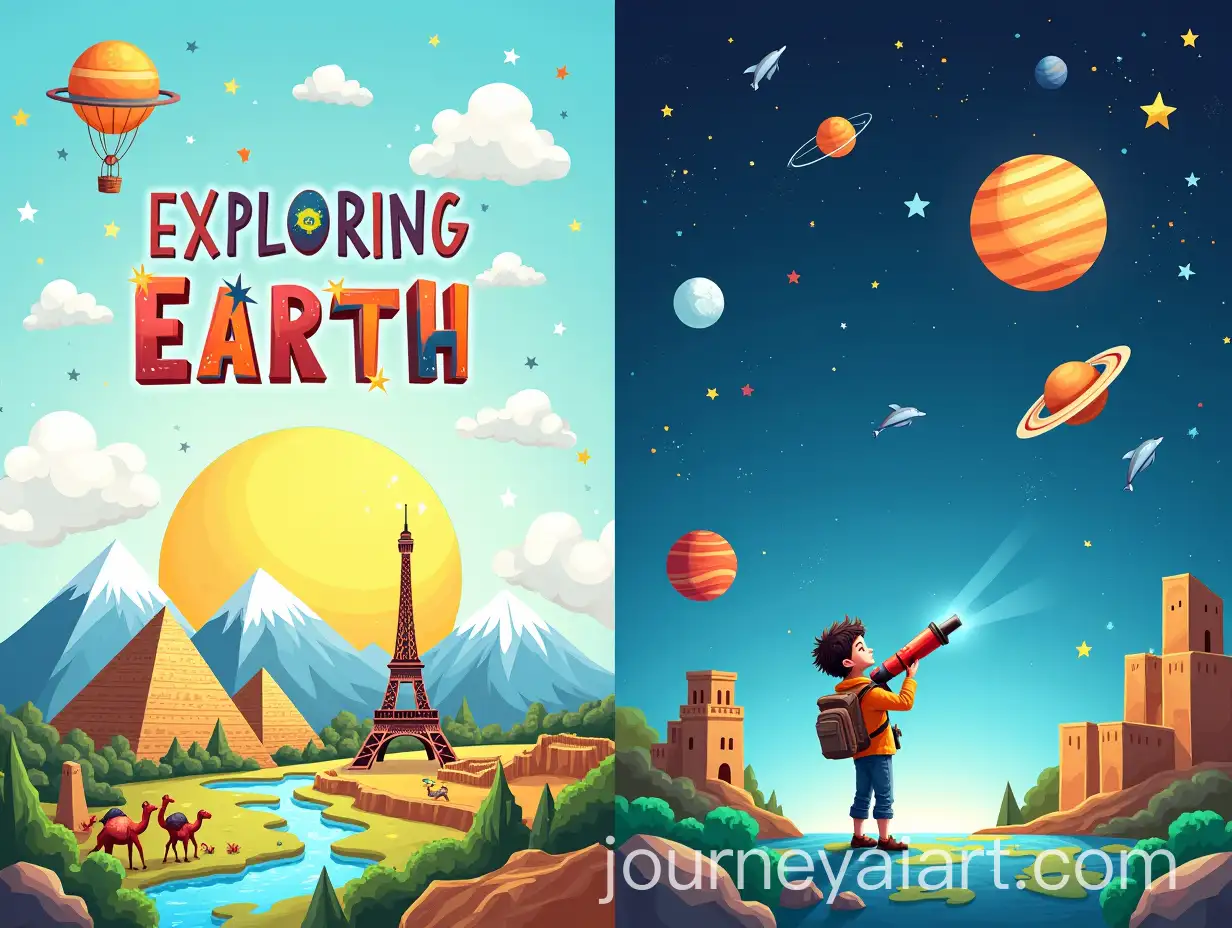
Geography Illustrations come in various styles, each with its unique visual impact. Common styles include realistic depictions, where terrain and landscapes are illustrated with accurate topographical features, and more artistic renditions, where geographical features may be stylized or abstracted. AI tools enable the generation of hyper-realistic maps, but also more conceptual styles, including surreal landscapes that visualize geographical concepts in imaginative ways. Whether it's a 3D representation of a mountain range or a vector-based topographic map, the diversity of styles available makes these illustrations adaptable to many different needs and preferences.
Different Styles of Geography Illustrations in the AI Art Landscape
AI is revolutionizing the field of Geography Illustrations by making it easier and faster to create high-quality, customized visuals. Traditional methods of creating maps and illustrations require significant time and expertise, but with AI tools, the process has become more accessible to both professionals and amateurs. The future development of AI in this space is expected to include more dynamic, interactive illustrations, where users can engage with the images by zooming in on specific areas or manipulating elements in real-time. With AI continuing to evolve, we can expect even greater customization options, allowing users to generate illustrations based on specific geographic data or personalized themes.
How AI is Shaping the Future of Geography Illustrations